Parent Directory
Parent Directory
Parent Directory
| Start time | End time | Last Latitude & Longitude |
Current (1hr avg) |
|---|---|---|---|
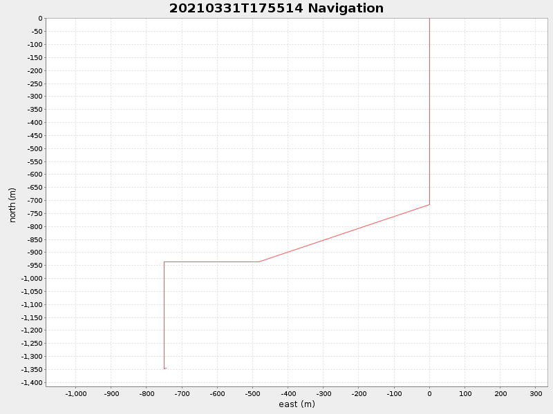
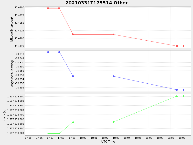
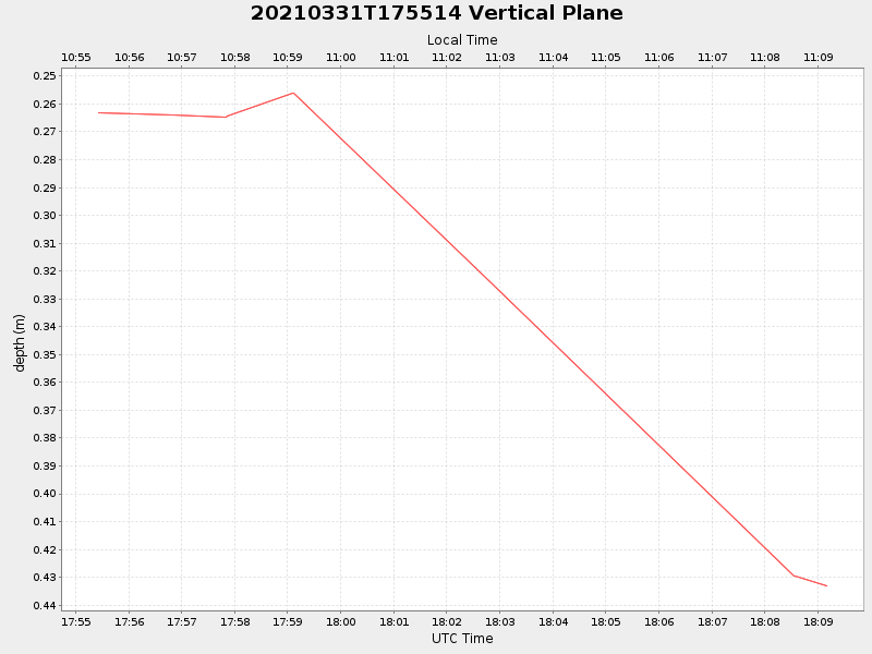
| 2021/03/31 17:55:25 GMT 2021/03/31 10:55:25 local |
2021/03/31 18:09:10 GMT 2021/03/31 11:09:10 local |
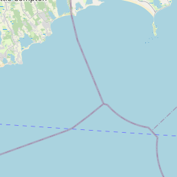
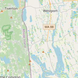
41.41755483127488 -70.85647940054564 |
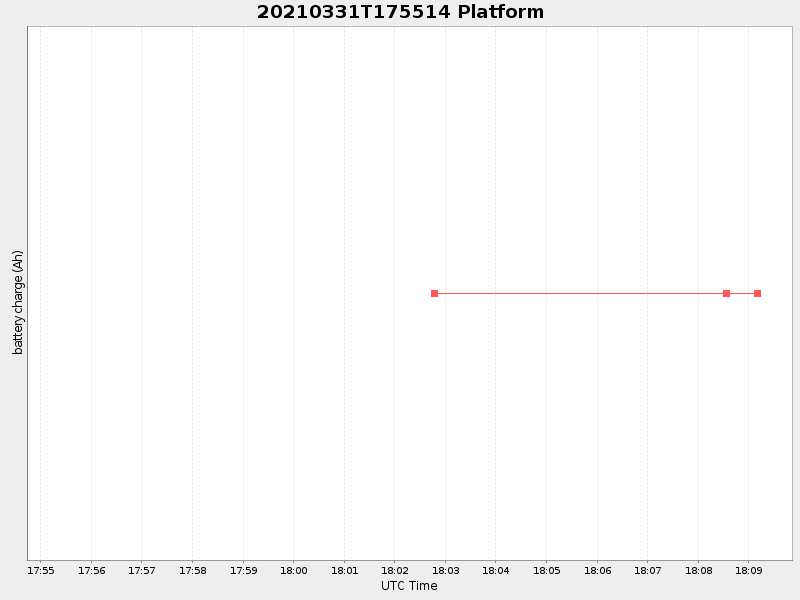
-0.0 Amp |
| Downloads: | ||||
| shore.nc shore.mat |
shore.kml shore.kmz |
shore.asc shore.dir |
shore.csv shore.log |
argos_24hr.kml argos_week.kml, argos_month.kml |
| Elapsed time since start: 37000:02 | Elapsed time since last valid data: 36999:49 |