Parent Directory
Parent Directory
Parent Directory
| Start time | End time | Last Latitude & Longitude |
Current (1hr avg) |
|---|---|---|---|
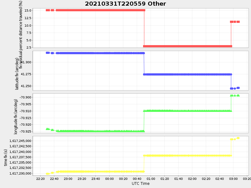
| 2021/03/31 22:23:29 GMT 2021/03/31 15:23:29 local |
2021/04/01 03:07:38 GMT 2021/03/31 20:07:38 local |
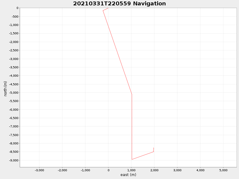
41.246272673766306 -70.89856083051598 |
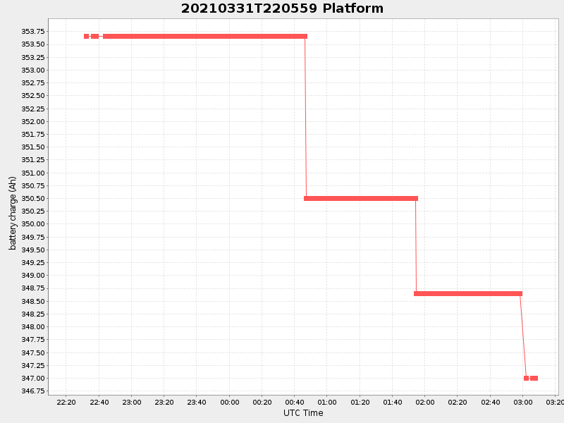
1.640305805817775 Amp |
| Downloads: | ||||
| shore.nc shore.mat |
shore.kml shore.kmz |
shore.asc shore.dir |
shore.csv shore.log |
argos_24hr.kml argos_week.kml, argos_month.kml |
| Elapsed time since start: ... | Elapsed time since last valid data: ... |