Parent Directory
Parent Directory
Parent Directory
| Start time | End time | Last Latitude & Longitude |
Current (1hr avg) |
|---|---|---|---|
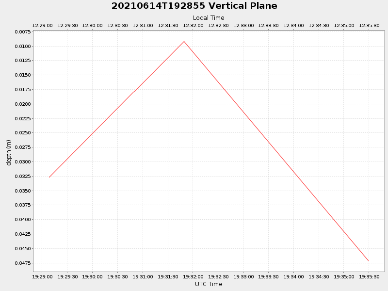
| 2021/06/14 19:29:08 GMT 2021/06/14 12:29:08 local |
2021/06/14 19:35:29 GMT 2021/06/14 12:35:29 local |
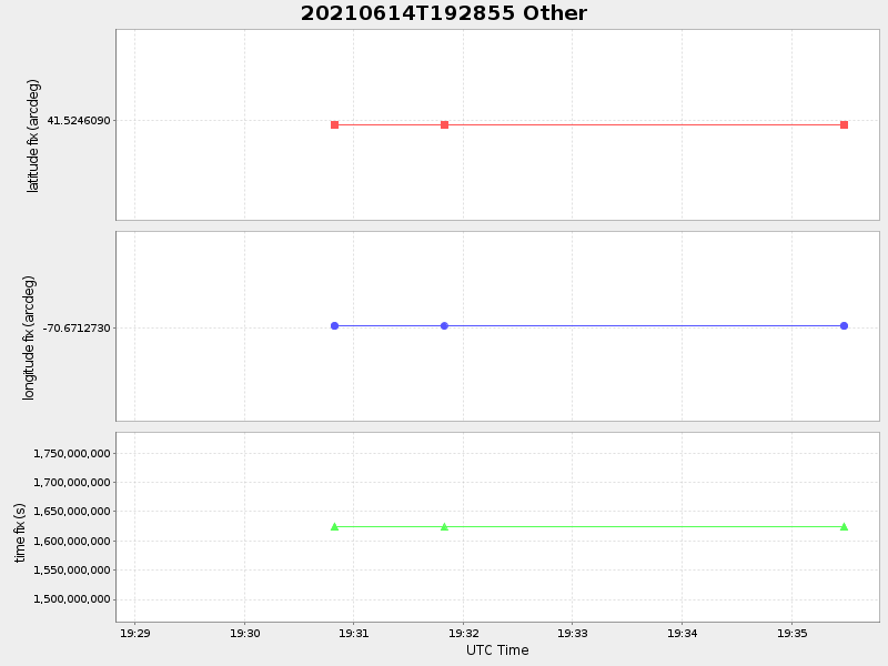
41.52460899976585 -70.6712729998652 |
NaN Amp |
| Downloads: | ||||
| shore.nc shore.mat |
shore.kml shore.kmz |
shore.asc shore.dir |
shore.csv shore.log |
argos_24hr.kml argos_week.kml, argos_month.kml |
| Elapsed time since start: 35229:19 | Elapsed time since last valid data: 35229:13 |