Parent Directory
Parent Directory
Parent Directory
| Start time | End time | Last Latitude & Longitude |
Current (1hr avg) |
|---|---|---|---|
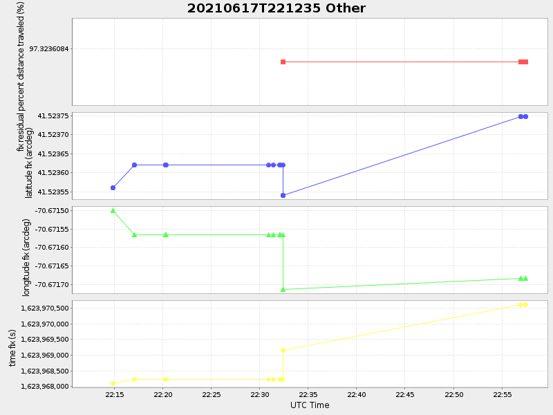
| 2021/06/17 22:12:55 GMT 2021/06/17 15:12:55 local |
2021/06/17 22:57:28 GMT 2021/06/17 15:57:28 local |
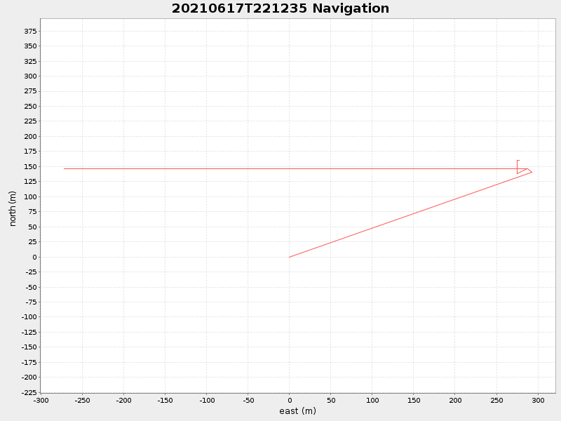
41.52374749963486 -70.67168283289324 |
-0.0 Amp |
| Downloads: | ||||
| shore.nc shore.mat |
shore.kml shore.kmz |
shore.asc shore.dir |
shore.csv shore.log |
argos_24hr.kml argos_week.kml, argos_month.kml |
| Elapsed time since start: 35127:38 | Elapsed time since last valid data: 35126:54 |