Parent Directory
Parent Directory
Parent Directory
| Start time | End time | Last Latitude & Longitude |
Current (1hr avg) |
|---|---|---|---|
| 2021/06/21 11:48:44 GMT 2021/06/21 04:48:44 local |
2021/06/22 01:37:31 GMT 2021/06/21 18:37:31 local |
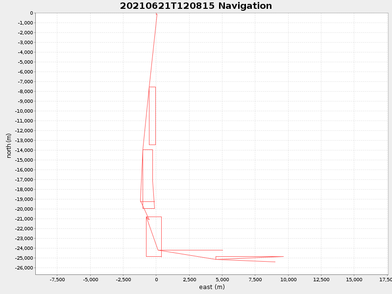
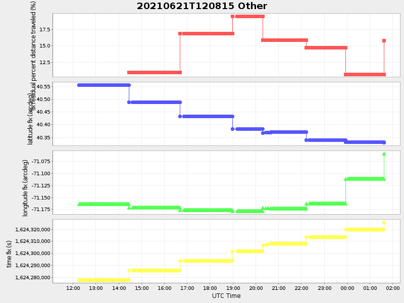
40.328293804821634 -71.05855735231674 |
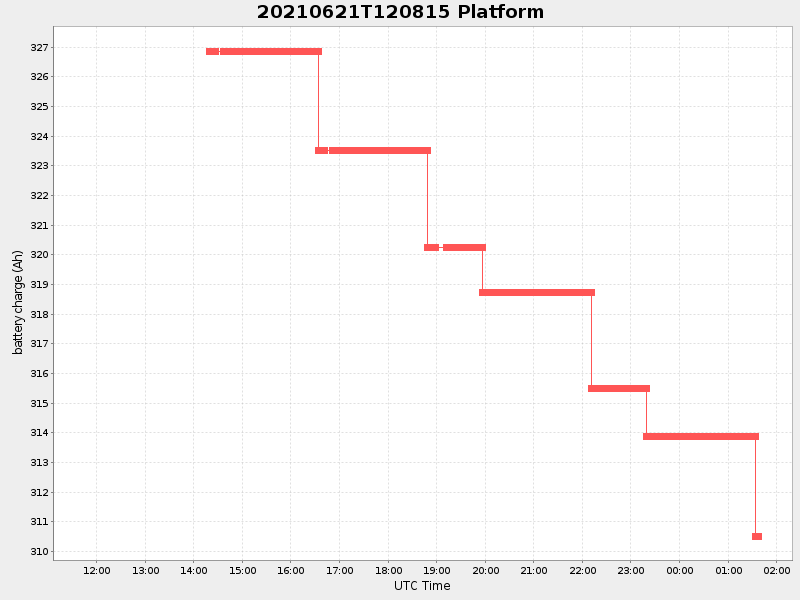
3.355295632584678 Amp |
| Downloads: | ||||
| shore.nc shore.mat |
shore.kml shore.kmz |
shore.asc shore.dir |
shore.csv shore.log |
argos_24hr.kml argos_week.kml, argos_month.kml |
| Elapsed time since start: ... | Elapsed time since last valid data: ... |