Parent Directory
Parent Directory
Parent Directory
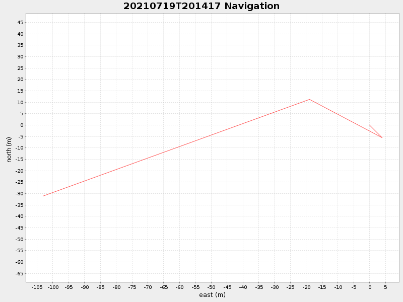
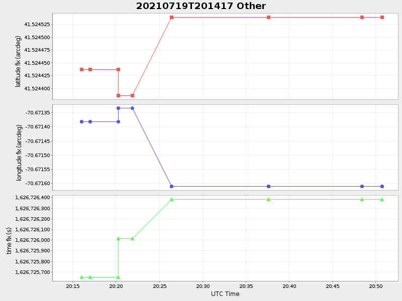
| Start time | End time | Last Latitude & Longitude |
Current (1hr avg) |
|---|---|---|---|
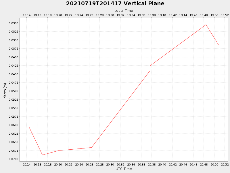
| 2021/07/19 20:14:29 GMT 2021/07/19 13:14:29 local |
2021/07/19 20:50:46 GMT 2021/07/19 13:50:46 local |
41.524156384674 -70.67261993951645 |
-0.0 Amp |
| Downloads: | ||||
| shore.nc shore.mat |
shore.kml shore.kmz |
shore.asc shore.dir |
shore.csv shore.log |
argos_24hr.kml argos_week.kml, argos_month.kml |
| Elapsed time since start: 34358:23 | Elapsed time since last valid data: 34357:47 |