Parent Directory
Parent Directory
Parent Directory
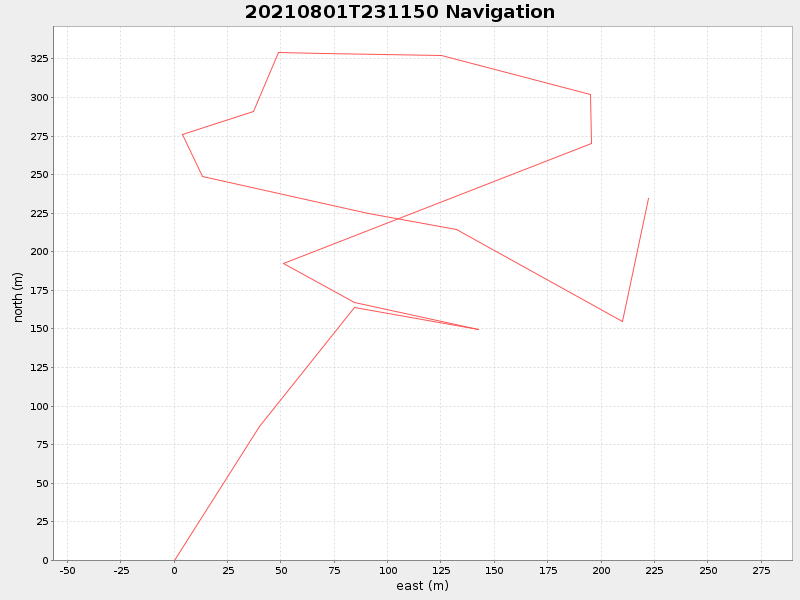
| Start time | End time | Last Latitude & Longitude |
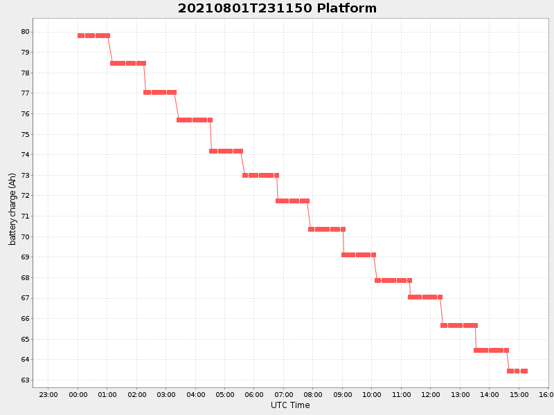
Current (1hr avg) |
|---|---|---|---|
| 2021/08/01 23:17:04 GMT 2021/08/01 16:17:04 local |
2021/08/02 15:12:39 GMT 2021/08/02 08:12:39 local |
41.52580813569094 -70.67605290331706 |
0.8543653989167647 Amp |
| Downloads: | ||||
| shore.nc shore.mat |
shore.kml shore.kmz |
shore.asc shore.dir |
shore.csv shore.log |
argos_24hr.kml argos_week.kml, argos_month.kml |
| Elapsed time since start: ... | Elapsed time since last valid data: ... |