Parent Directory
Parent Directory
Parent Directory
| Start time | End time | Last Latitude & Longitude |
Current (1hr avg) |
|---|---|---|---|
| 2021/08/04 19:06:10 GMT 2021/08/04 12:06:10 local |
2021/08/04 20:30:49 GMT 2021/08/04 13:30:49 local |
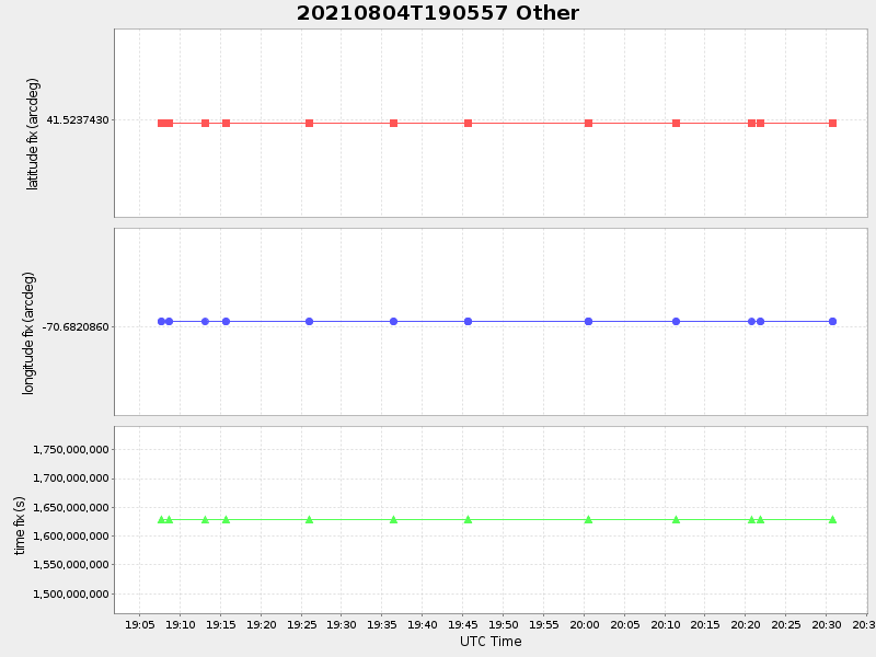
41.52374299981418 -70.68208599973929 |
-13.626892599095884 Amp |
| Downloads: | ||||
| shore.nc shore.mat |
shore.kml shore.kmz |
shore.asc shore.dir |
shore.csv shore.log |
argos_24hr.kml argos_week.kml, argos_month.kml |
| Elapsed time since start: 34031:02 | Elapsed time since last valid data: 34029:38 |