Parent Directory
Parent Directory
Parent Directory
| Start time | End time | Last Latitude & Longitude |
Current (1hr avg) |
|---|---|---|---|
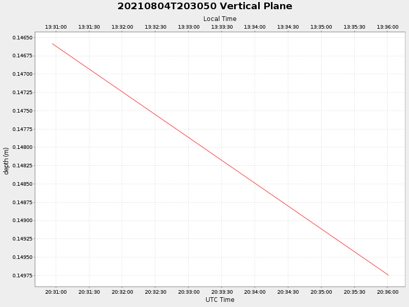
| 2021/08/04 20:30:56 GMT 2021/08/04 13:30:56 local |
2021/08/04 20:36:00 GMT 2021/08/04 13:36:00 local |
41.52374299981418 -70.68208599973929 |
NaN Amp |
| Downloads: | ||||
| shore.nc shore.mat |
shore.kml shore.kmz |
shore.asc shore.dir |
shore.csv shore.log |
argos_24hr.kml argos_week.kml, argos_month.kml |
| Elapsed time since start: 33985:35 | Elapsed time since last valid data: 33985:30 |