Parent Directory
Parent Directory
Parent Directory
| Start time | End time | Last Latitude & Longitude |
Current (1hr avg) |
|---|---|---|---|
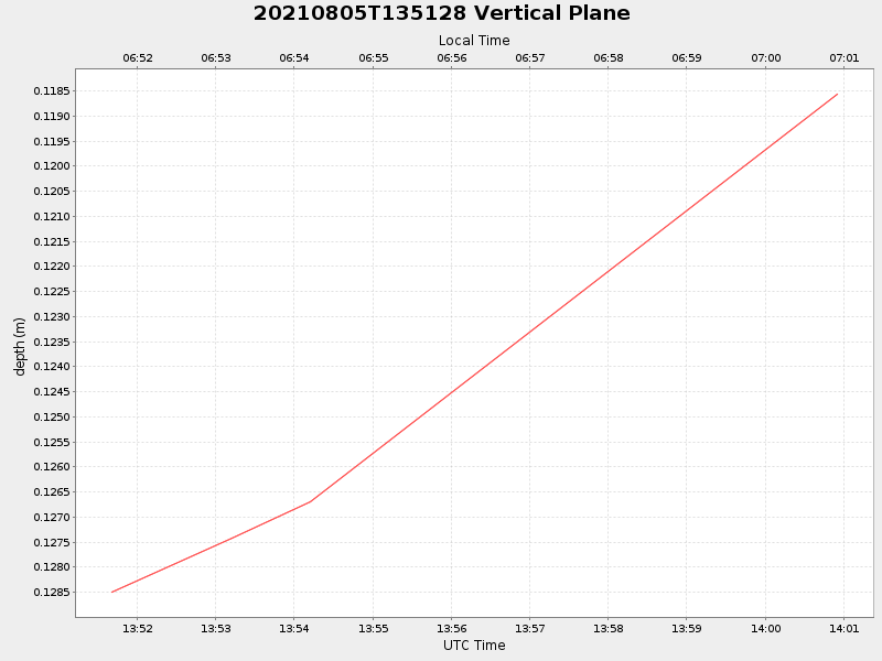
| 2021/08/05 13:51:40 GMT 2021/08/05 06:51:40 local |
2021/08/05 14:00:54 GMT 2021/08/05 07:00:54 local |
41.550815999969856 -70.71333199993452 |
NaN Amp |
| Downloads: | ||||
| shore.nc shore.mat |
shore.kml shore.kmz |
shore.asc shore.dir |
shore.csv shore.log |
argos_24hr.kml argos_week.kml, argos_month.kml |
| Elapsed time since start: 33995:09 | Elapsed time since last valid data: 33995:00 |