Parent Directory
Parent Directory
Parent Directory
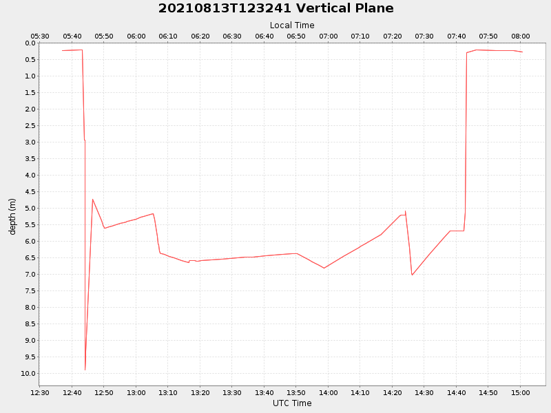
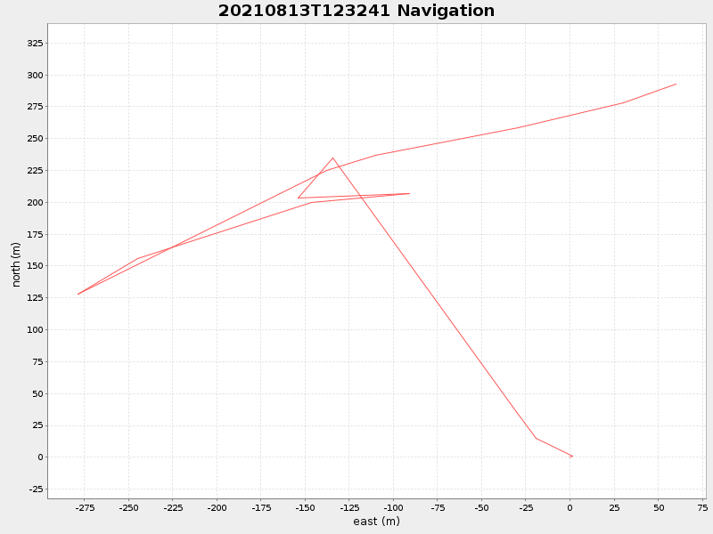
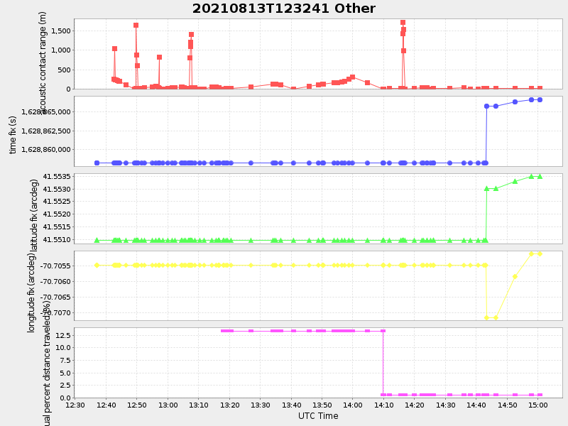
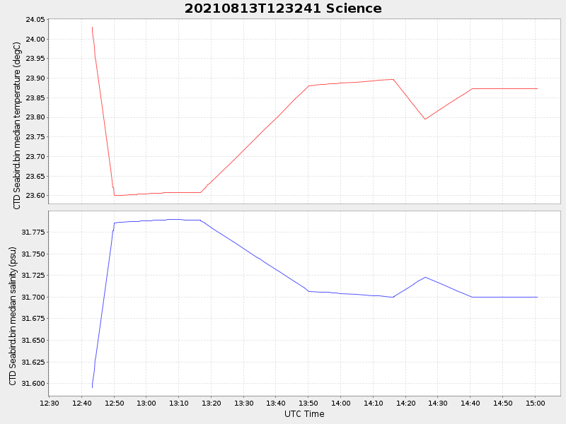
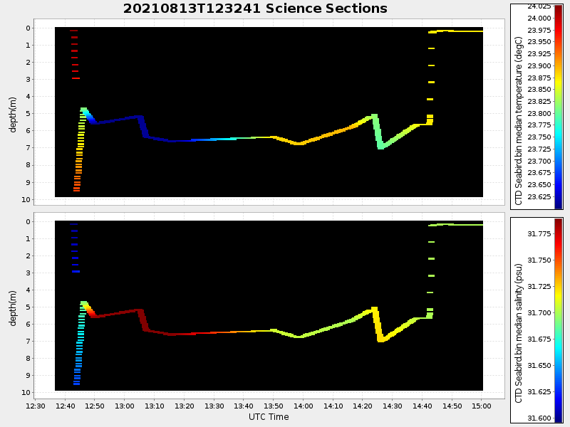
| Start time | End time | Last Latitude & Longitude |
Current (1hr avg) |
|---|---|---|---|
| 2021/08/13 12:37:01 GMT 2021/08/13 05:37:01 local |
2021/08/13 15:00:40 GMT 2021/08/13 08:00:40 local |
41.553612172444225 -70.70476560702649 |
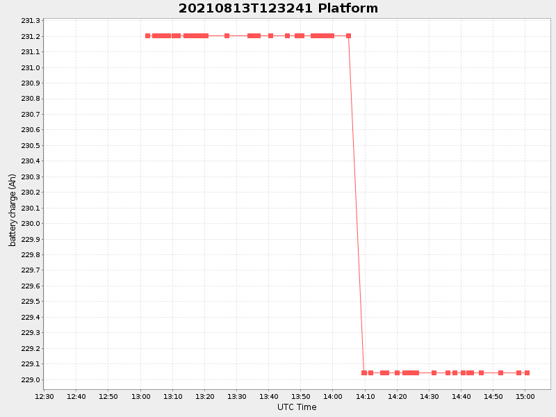
2.128596244235057 Amp |
| Downloads: | ||||
| shore.nc shore.mat |
shore.kml shore.kmz |
shore.asc shore.dir |
shore.csv shore.log |
argos_24hr.kml argos_week.kml, argos_month.kml |
| Elapsed time since start: 33772:40 | Elapsed time since last valid data: 33770:16 |