Parent Directory
Parent Directory
Parent Directory
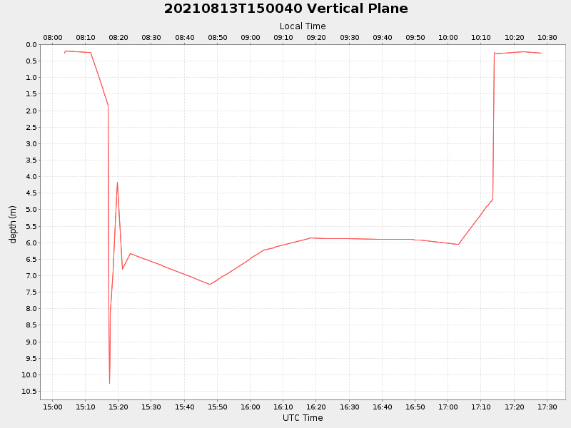
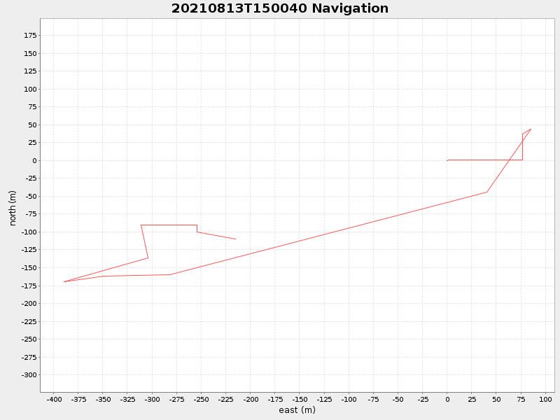
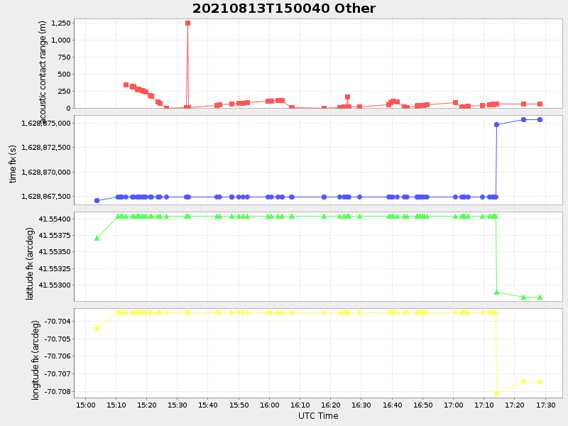
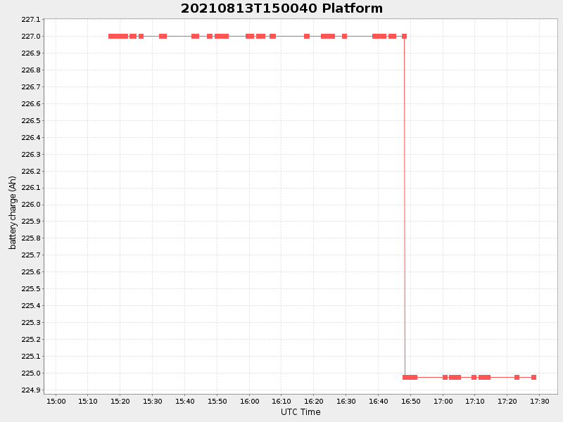
| Start time | End time | Last Latitude & Longitude |
Current (1hr avg) |
|---|---|---|---|
| 2021/08/13 15:03:42 GMT 2021/08/13 08:03:42 local |
2021/08/13 17:28:18 GMT 2021/08/13 10:28:18 local |
41.55272391976625 -70.70699847607419 |
1.9450909829056526 Amp |
| Downloads: | ||||
| shore.nc shore.mat |
shore.kml shore.kmz |
shore.asc shore.dir |
shore.csv shore.log |
argos_24hr.kml argos_week.kml, argos_month.kml |
| Elapsed time since start: ... | Elapsed time since last valid data: ... |