Parent Directory
Parent Directory
Parent Directory
| Start time | End time | Last Latitude & Longitude |
Current (1hr avg) |
|---|---|---|---|
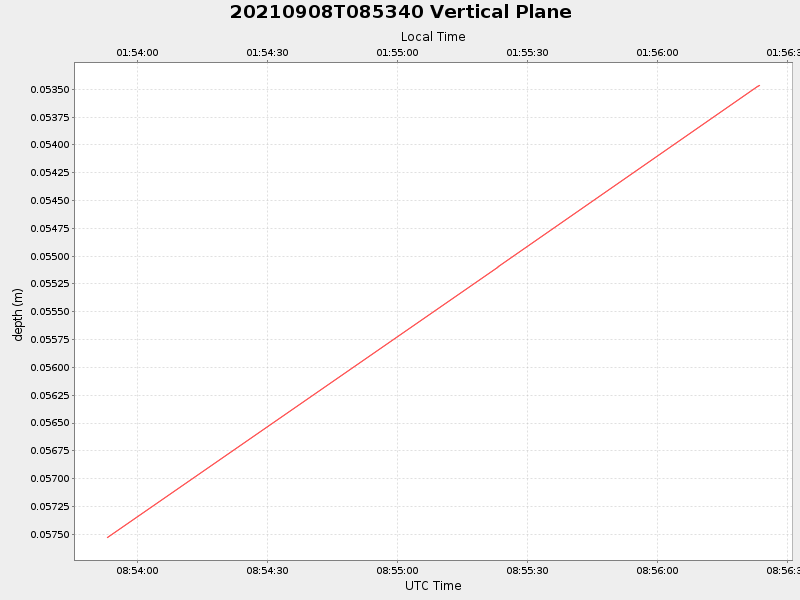
| 2021/09/08 08:53:53 GMT 2021/09/08 01:53:53 local |
2021/09/08 08:56:23 GMT 2021/09/08 01:56:23 local |
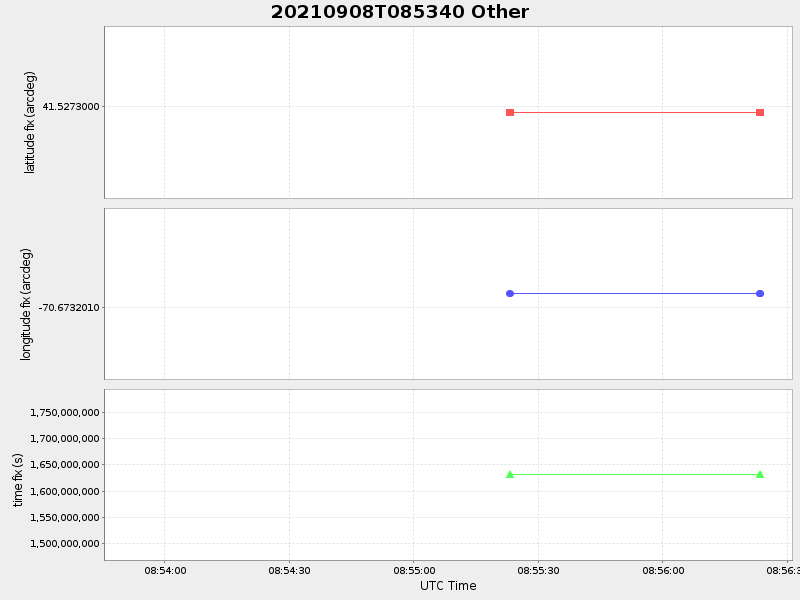
41.5272999996667 -70.67320099918379 |
NaN Amp |
| Downloads: | ||||
| shore.nc shore.mat |
shore.kml shore.kmz |
shore.asc shore.dir |
shore.csv shore.log |
argos_24hr.kml argos_week.kml, argos_month.kml |
| Elapsed time since start: 33163:24 | Elapsed time since last valid data: 33163:21 |