Parent Directory
Parent Directory
Parent Directory
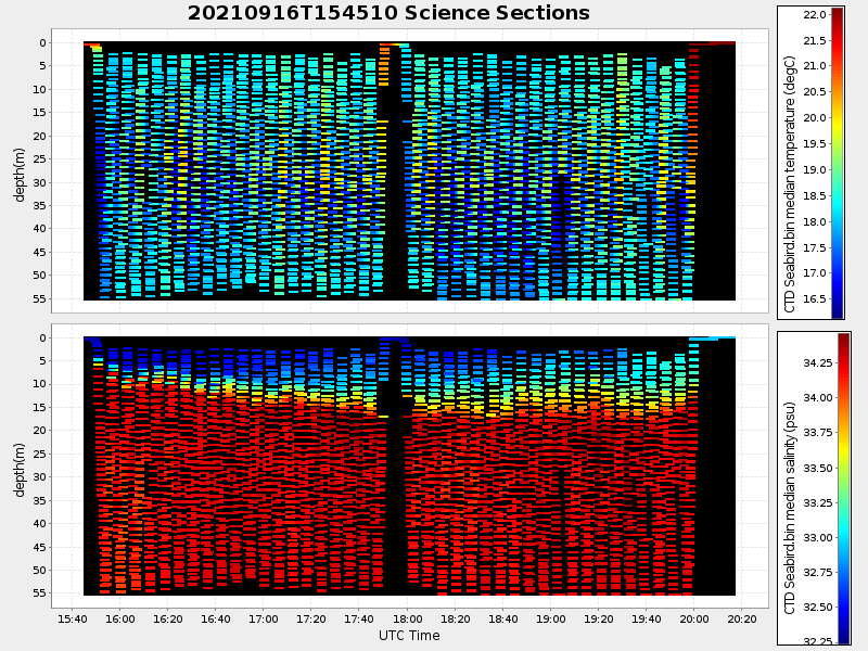
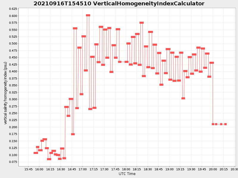
| Start time | End time | Last Latitude & Longitude |
Current (1hr avg) |
|---|---|---|---|
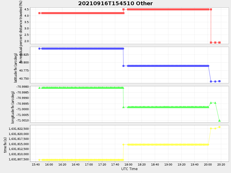
| 2021/09/16 15:45:24 GMT 2021/09/16 08:45:24 local |
2021/09/16 20:17:52 GMT 2021/09/16 13:17:52 local |
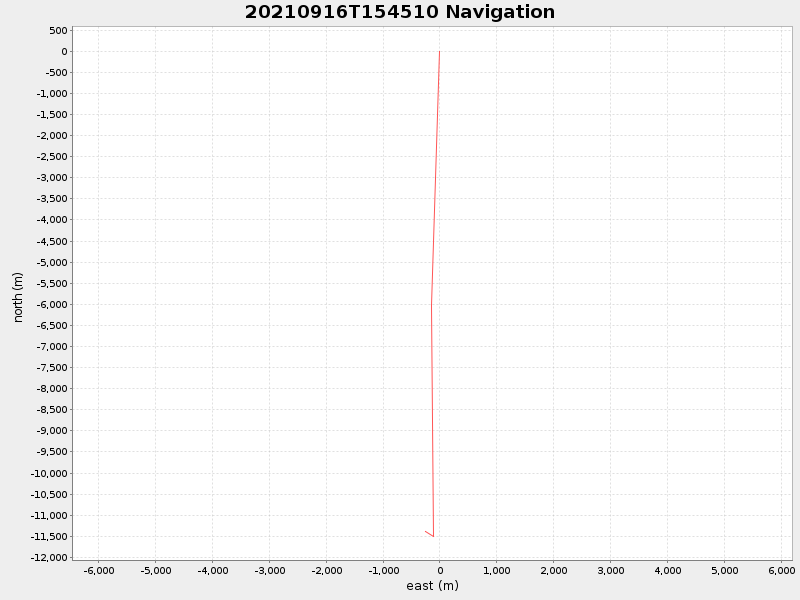
40.741357999680964 -71.00103283294999 |
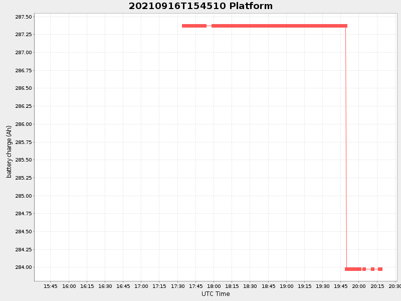
3.3850151756289404 Amp |
| Downloads: | ||||
| shore.nc shore.mat |
shore.kml shore.kmz |
shore.asc shore.dir |
shore.csv shore.log |
argos_24hr.kml argos_week.kml, argos_month.kml |
| Elapsed time since start: ... | Elapsed time since last valid data: ... |