Parent Directory
Parent Directory
Parent Directory
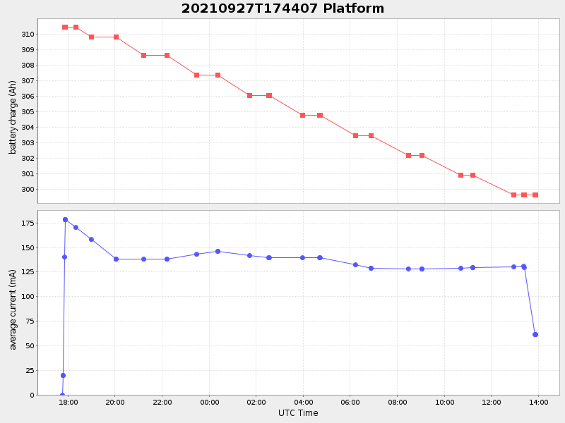
| Start time | End time | Last Latitude & Longitude |
Current (1hr avg) |
|---|---|---|---|
| 2021/09/27 17:44:21 GMT 2021/09/27 10:44:21 local |
2021/09/28 13:53:10 GMT 2021/09/28 06:53:10 local |
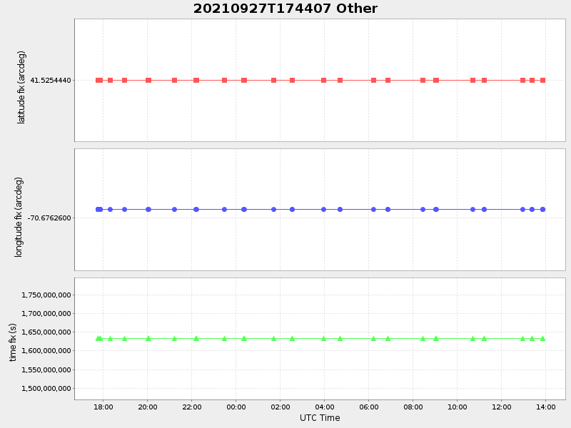
41.52484135251278 -70.67668914811145 |
0.47785809503457205 Amp |
| Downloads: | ||||
| shore.nc shore.mat |
shore.kml shore.kmz |
shore.asc shore.dir |
shore.csv shore.log |
argos_24hr.kml argos_week.kml, argos_month.kml |
| Elapsed time since start: ... | Elapsed time since last valid data: ... |