Parent Directory
Parent Directory
Parent Directory
| Start time | End time | Last Latitude & Longitude |
Current (1hr avg) |
|---|---|---|---|
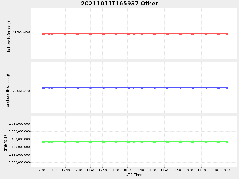
| 2021/10/11 16:59:50 GMT 2021/10/11 09:59:50 local |
2021/10/11 19:30:57 GMT 2021/10/11 12:30:57 local |
41.52215684429319 -70.66757343190332 |
-6.299297591092092 Amp |
| Downloads: | ||||
| shore.nc shore.mat |
shore.kml shore.kmz |
shore.asc shore.dir |
shore.csv shore.log |
argos_24hr.kml argos_week.kml, argos_month.kml |
| Elapsed time since start: ... | Elapsed time since last valid data: ... |