Parent Directory
Parent Directory
Parent Directory
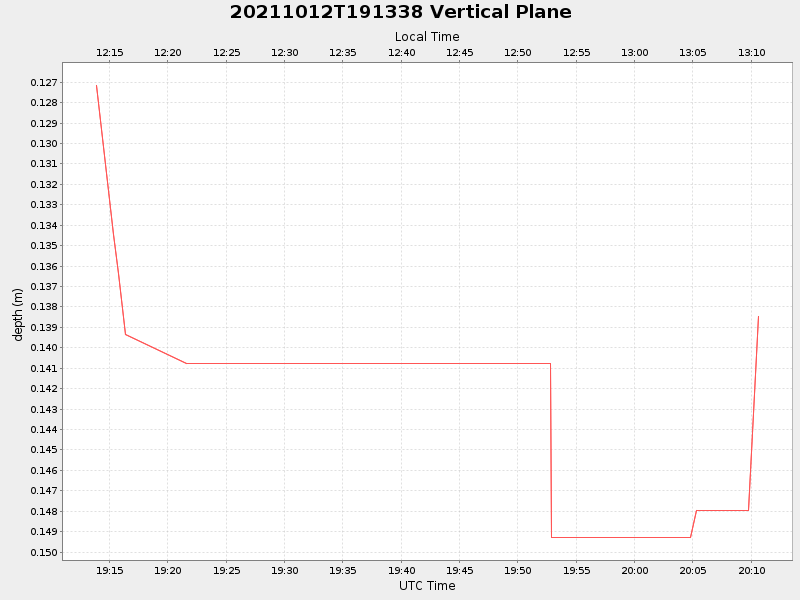
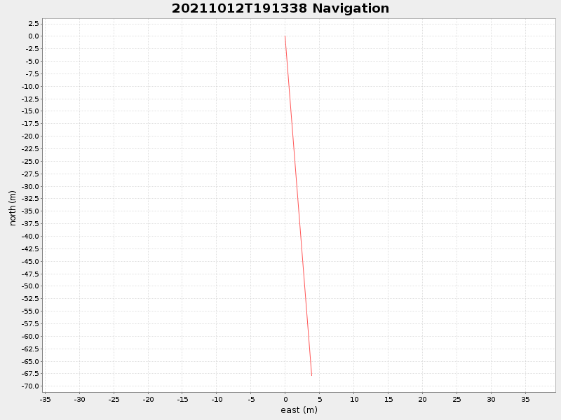
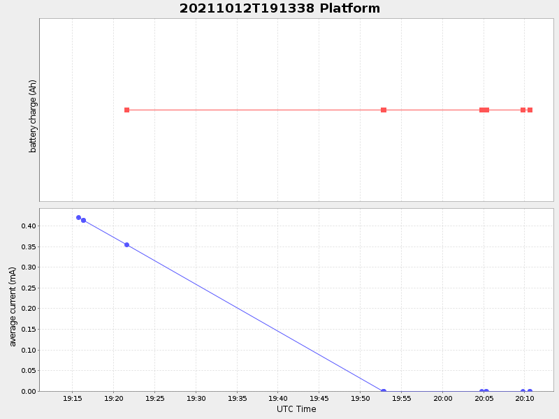
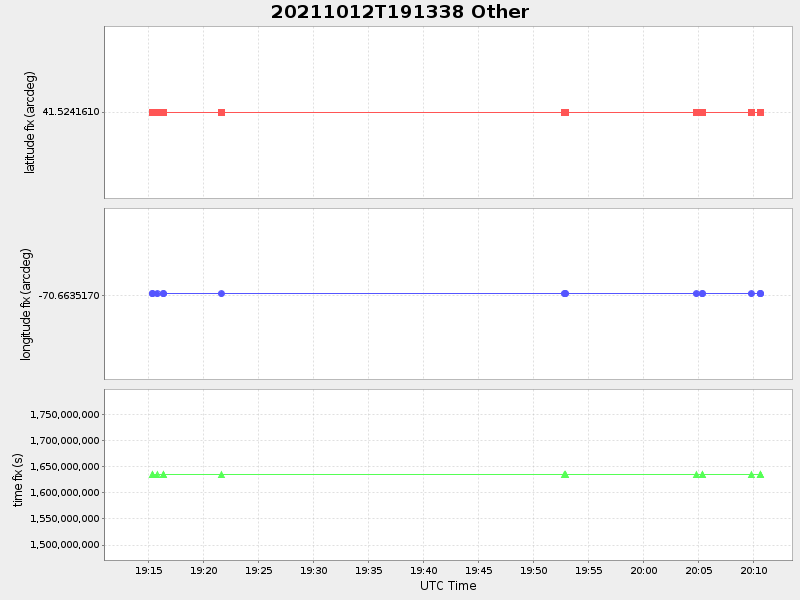
| Start time | End time | Last Latitude & Longitude |
Current (1hr avg) |
|---|---|---|---|
| 2021/10/12 19:13:51 GMT 2021/10/12 12:13:51 local |
2021/10/12 20:10:39 GMT 2021/10/12 13:10:39 local |
41.52355113419751 -70.66347083025333 |
-0.0 Amp |
| Downloads: | ||||
| shore.nc shore.mat |
shore.kml shore.kmz |
shore.asc shore.dir |
shore.csv shore.log |
argos_24hr.kml argos_week.kml, argos_month.kml |
| Elapsed time since start: ... | Elapsed time since last valid data: ... |