Parent Directory
Parent Directory
Parent Directory
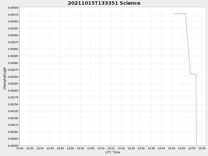
| Start time | End time | Last Latitude & Longitude |
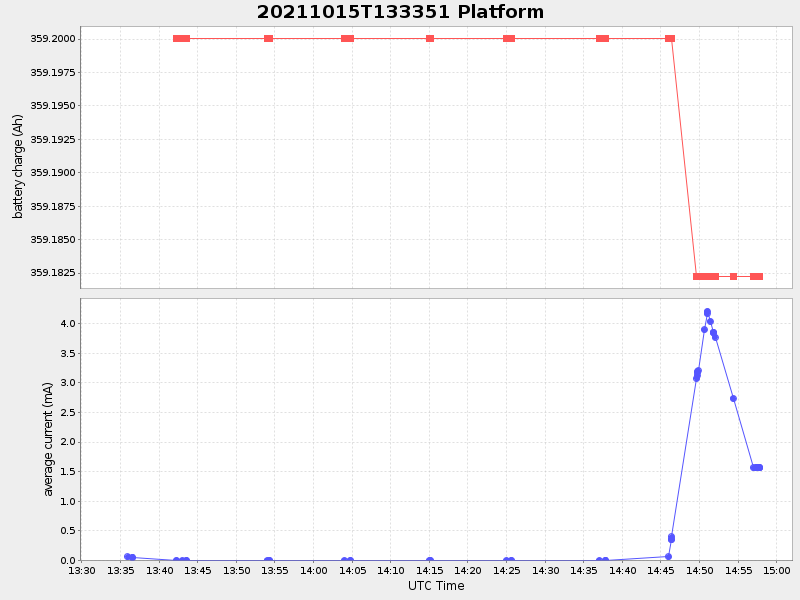
Current (1hr avg) |
|---|---|---|---|
| 2021/10/15 13:34:04 GMT 2021/10/15 06:34:04 local |
2021/10/15 14:57:48 GMT 2021/10/15 07:57:48 local |
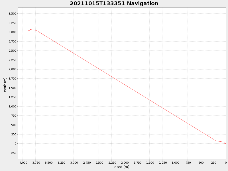
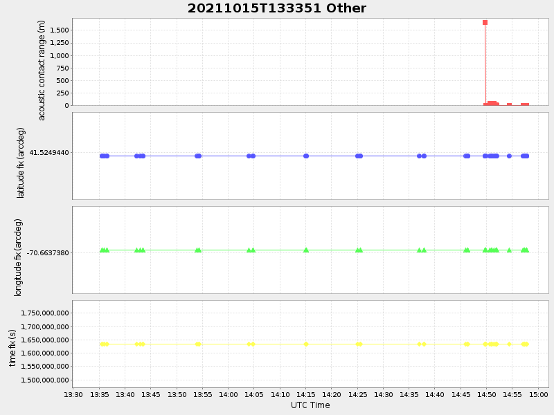
41.55228085710083 -70.71058575612632 |
0.016827045594200226 Amp |
| Downloads: | ||||
| shore.nc shore.mat |
shore.kml shore.kmz |
shore.asc shore.dir |
shore.csv shore.log |
argos_24hr.kml argos_week.kml, argos_month.kml |
| Elapsed time since start: ... | Elapsed time since last valid data: ... |