Parent Directory
Parent Directory
Parent Directory
| Start time | End time | Last Latitude & Longitude |
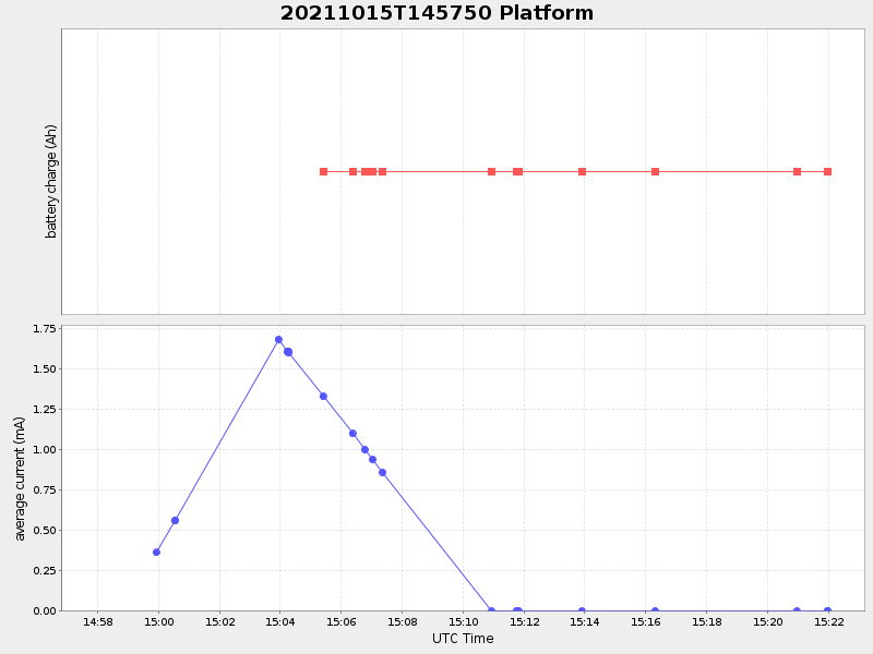
Current (1hr avg) |
|---|---|---|---|
| 2021/10/15 14:58:02 GMT 2021/10/15 07:58:02 local |
2021/10/15 15:21:58 GMT 2021/10/15 08:21:58 local |
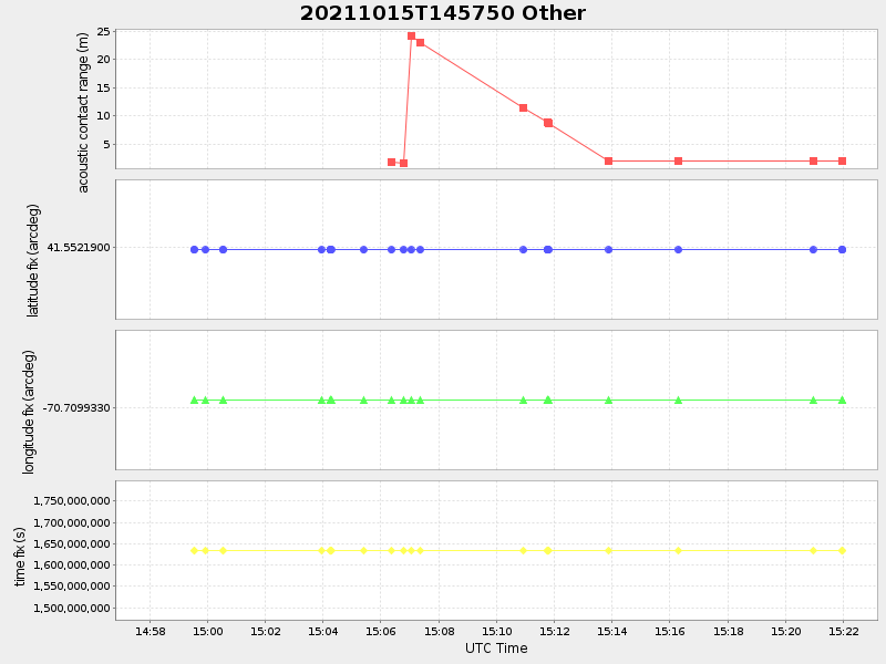
41.55270360428904 -70.7108956351055 |
-0.0 Amp |
| Downloads: | ||||
| shore.nc shore.mat |
shore.kml shore.kmz |
shore.asc shore.dir |
shore.csv shore.log |
argos_24hr.kml argos_week.kml, argos_month.kml |
| Elapsed time since start: ... | Elapsed time since last valid data: ... |