Parent Directory
Parent Directory
Parent Directory
| Start time | End time | Last Latitude & Longitude |
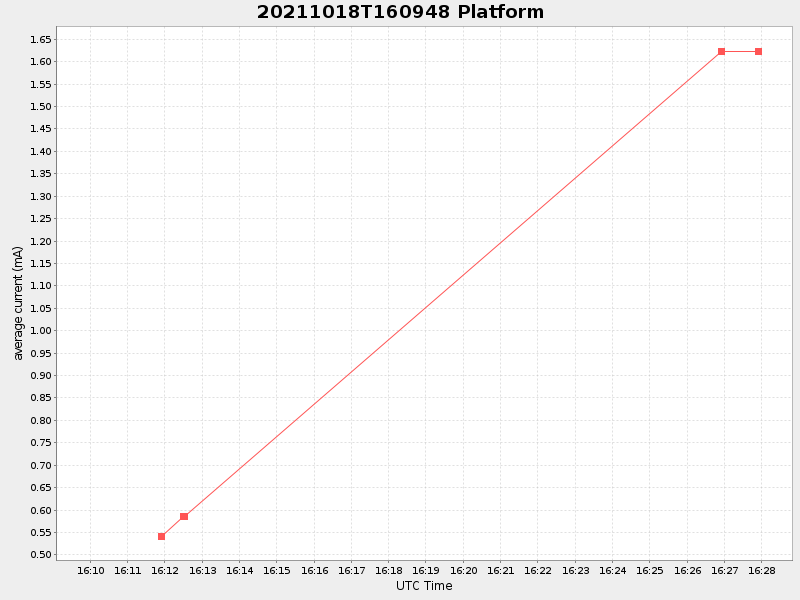
Current (1hr avg) |
|---|---|---|---|
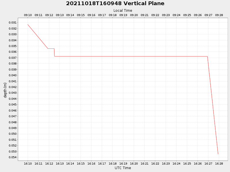
| 2021/10/18 16:10:00 GMT 2021/10/18 09:10:00 local |
2021/10/18 16:27:55 GMT 2021/10/18 09:27:55 local |
41.5499229998435 -70.70619199932015 |
NaN Amp |
| Downloads: | ||||
| shore.nc shore.mat |
shore.kml shore.kmz |
shore.asc shore.dir |
shore.csv shore.log |
argos_24hr.kml argos_week.kml, argos_month.kml |
| Elapsed time since start: 32181:41 | Elapsed time since last valid data: 32181:23 |