Parent Directory
Parent Directory
Parent Directory
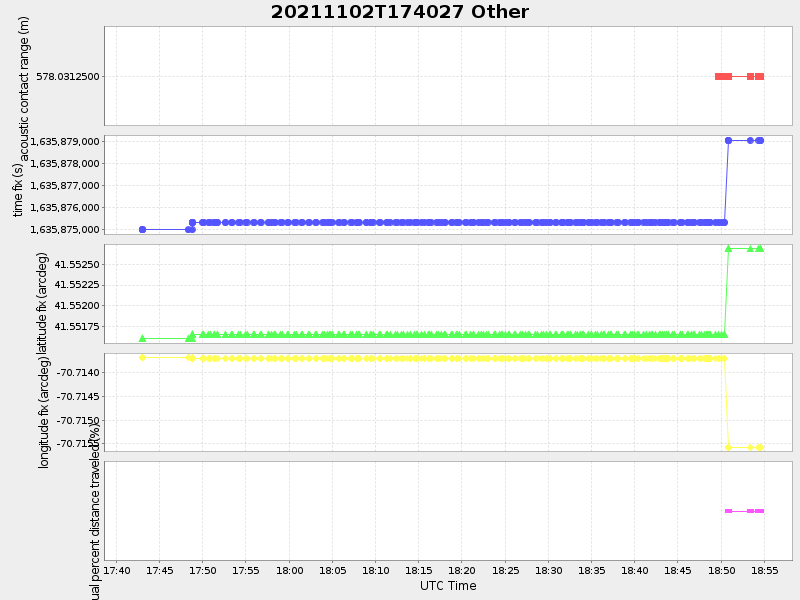
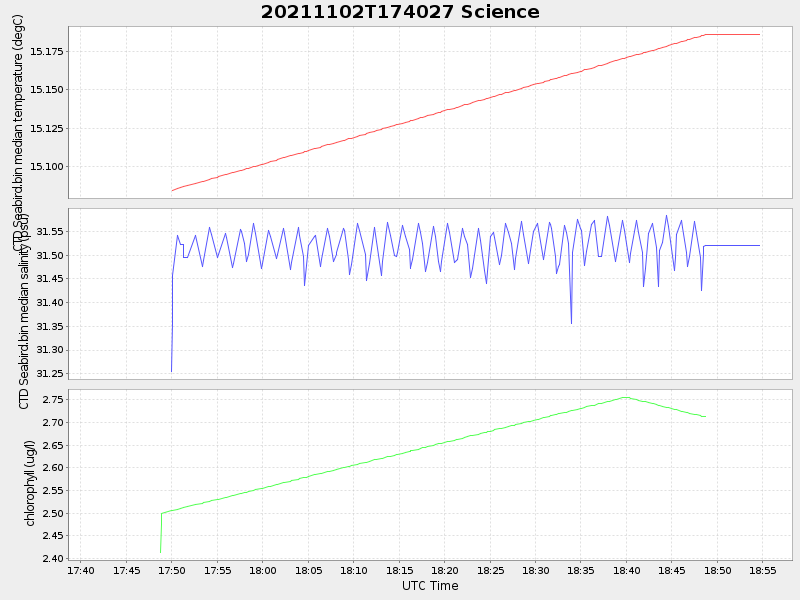
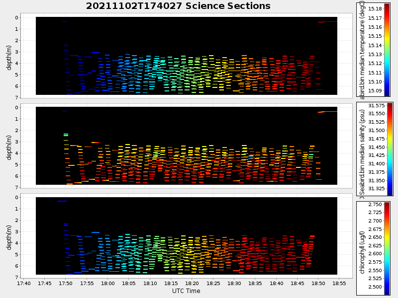
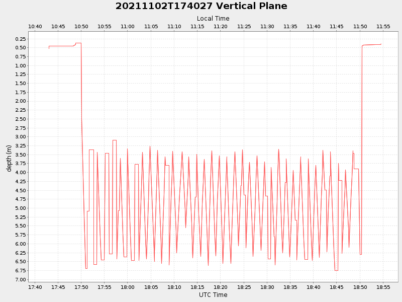
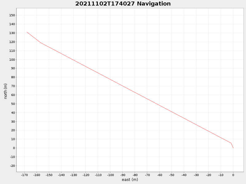
| Start time | End time | Last Latitude & Longitude |
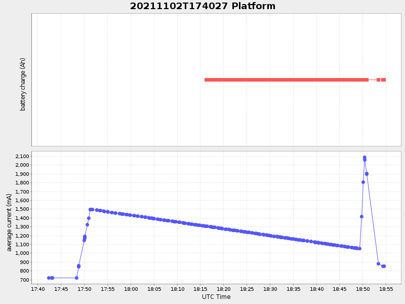
Current (1hr avg) |
|---|---|---|---|
| 2021/11/02 17:42:18 GMT 2021/11/02 10:42:18 local |
2021/11/02 18:54:35 GMT 2021/11/02 11:54:35 local |
41.552790320260684 -70.7157032653568 |
-0.0 Amp |
| Downloads: | ||||
| shore.nc shore.mat |
shore.kml shore.kmz |
shore.asc shore.dir |
shore.csv shore.log |
argos_24hr.kml argos_week.kml, argos_month.kml |
| Elapsed time since start: ... | Elapsed time since last valid data: ... |