Parent Directory
Parent Directory
Parent Directory
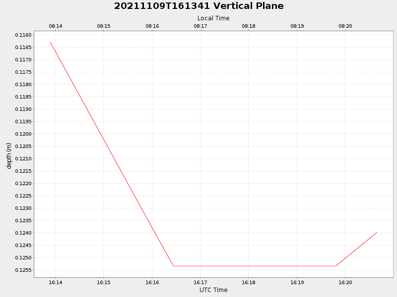
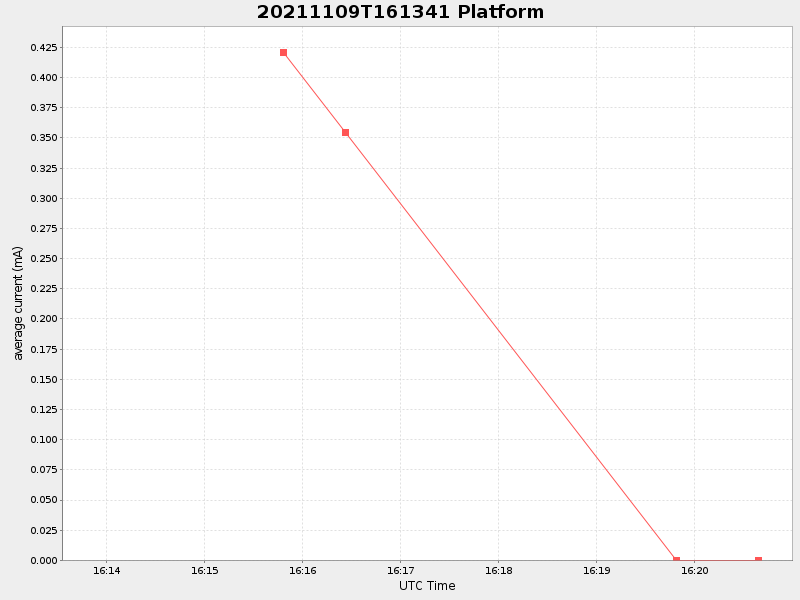
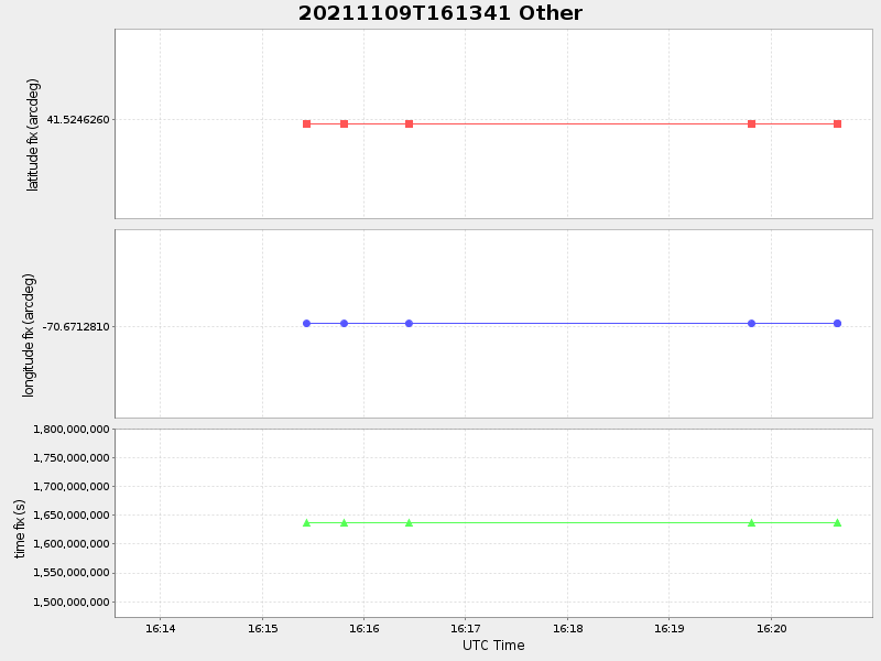
| Start time | End time | Last Latitude & Longitude |
Current (1hr avg) |
|---|---|---|---|
| 2021/11/09 16:13:53 GMT 2021/11/09 08:13:53 local |
2021/11/09 16:20:39 GMT 2021/11/09 08:20:39 local |
NaN NaN |
NaN Amp |
| Downloads: | ||||
| shore.nc shore.mat |
shore.kml shore.kmz |
shore.asc shore.dir |
shore.csv shore.log |
argos_24hr.kml argos_week.kml, argos_month.kml |
| Elapsed time since start: 32245:34 | Elapsed time since last valid data: 32245:27 |