Parent Directory
Parent Directory
Parent Directory
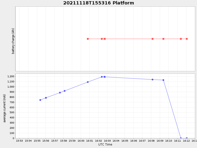
| Start time | End time | Last Latitude & Longitude |
Current (1hr avg) |
|---|---|---|---|
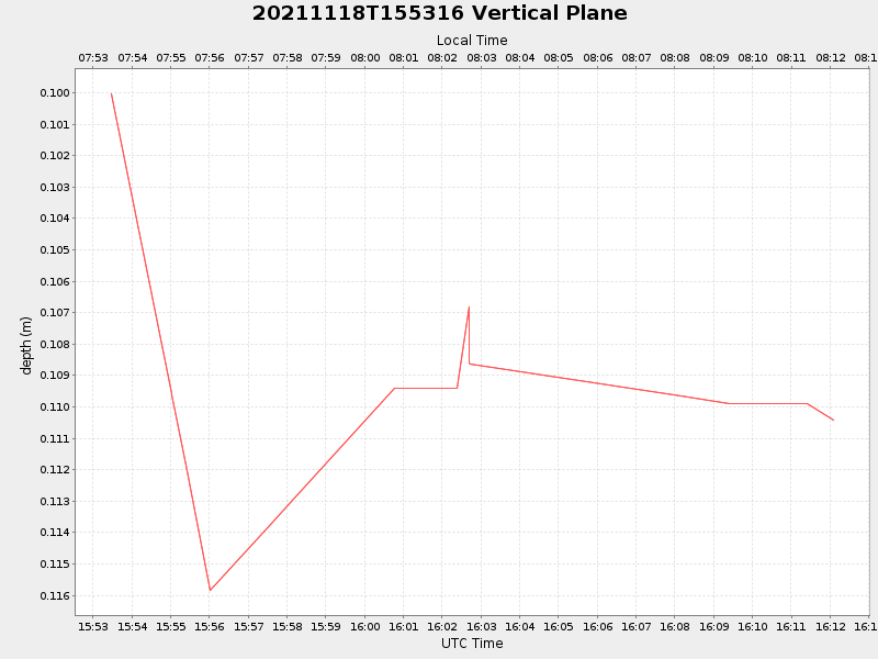
| 2021/11/18 15:53:29 GMT 2021/11/18 07:53:29 local |
2021/11/18 16:12:04 GMT 2021/11/18 08:12:04 local |
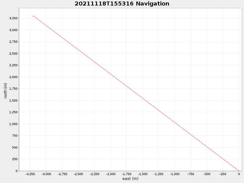
41.55239141953737 -70.70893212413932 |
-0.0 Amp |
| Downloads: | ||||
| shore.nc shore.mat |
shore.kml shore.kmz |
shore.asc shore.dir |
shore.csv shore.log |
argos_24hr.kml argos_week.kml, argos_month.kml |
| Elapsed time since start: 31487:59 | Elapsed time since last valid data: 31487:40 |