Parent Directory
Parent Directory
Parent Directory
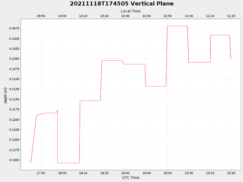
| Start time | End time | Last Latitude & Longitude |
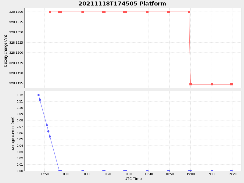
Current (1hr avg) |
|---|---|---|---|
| 2021/11/18 17:45:17 GMT 2021/11/18 09:45:17 local |
2021/11/18 19:19:46 GMT 2021/11/18 11:19:46 local |
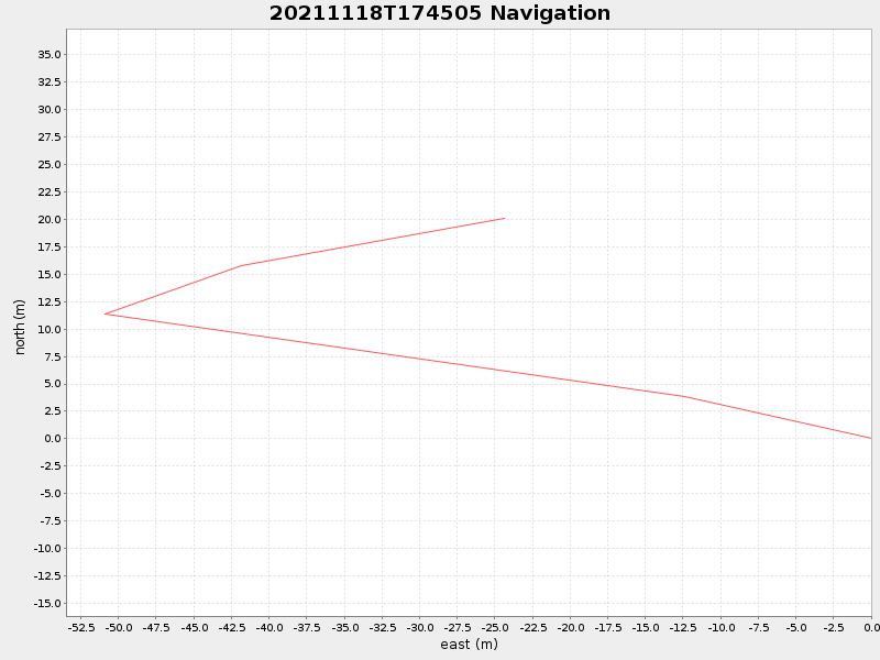
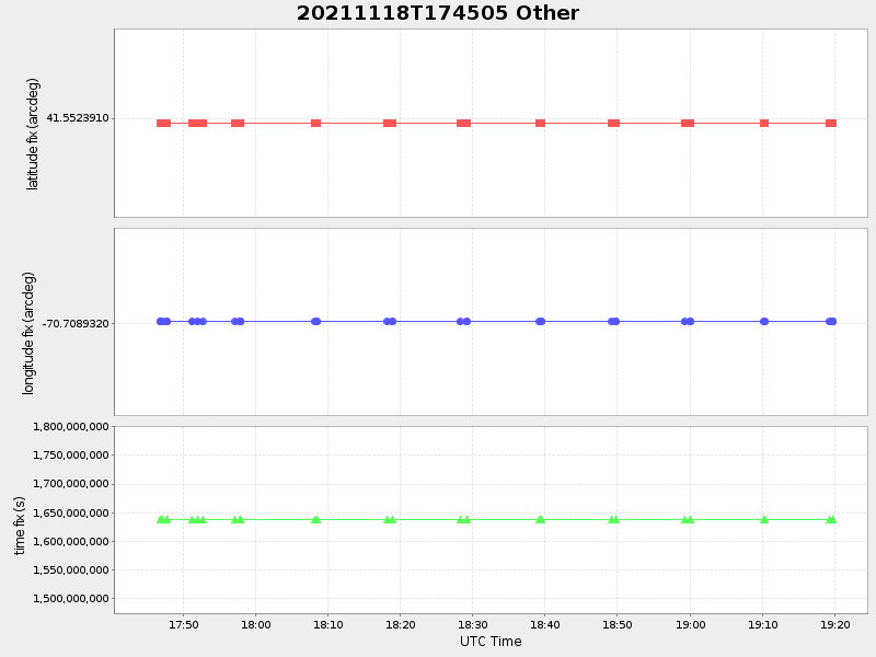
41.552571565359855 -70.70922444406285 |
0.017521943447922378 Amp |
| Downloads: | ||||
| shore.nc shore.mat |
shore.kml shore.kmz |
shore.asc shore.dir |
shore.csv shore.log |
argos_24hr.kml argos_week.kml, argos_month.kml |
| Elapsed time since start: 31469:48 | Elapsed time since last valid data: 31468:13 |