Parent Directory
Parent Directory
Parent Directory
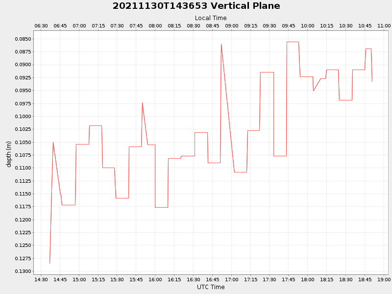
| Start time | End time | Last Latitude & Longitude |
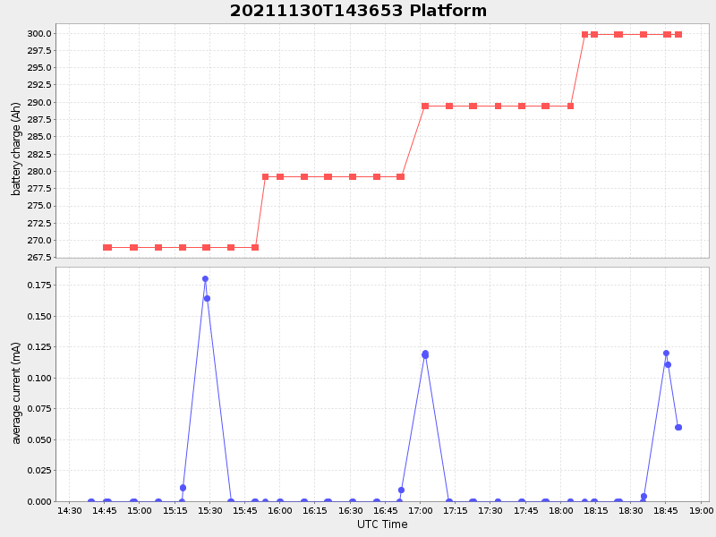
Current (1hr avg) |
|---|---|---|---|
| 2021/11/30 14:37:06 GMT 2021/11/30 06:37:06 local |
2021/11/30 18:50:43 GMT 2021/11/30 10:50:43 local |
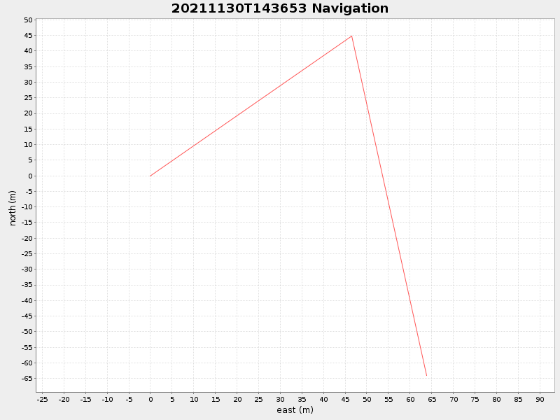
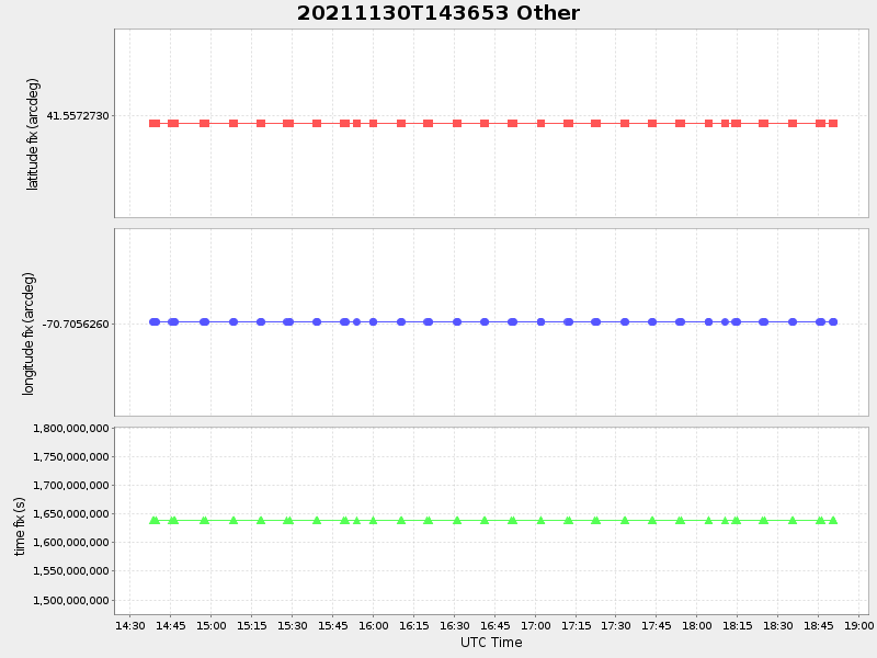
41.5566975711633 -70.70485927700115 |
-9.200902695052243 Amp |
| Downloads: | ||||
| shore.nc shore.mat |
shore.kml shore.kmz |
shore.asc shore.dir |
shore.csv shore.log |
argos_24hr.kml argos_week.kml, argos_month.kml |
| Elapsed time since start: ... | Elapsed time since last valid data: ... |