Parent Directory
Parent Directory
Parent Directory
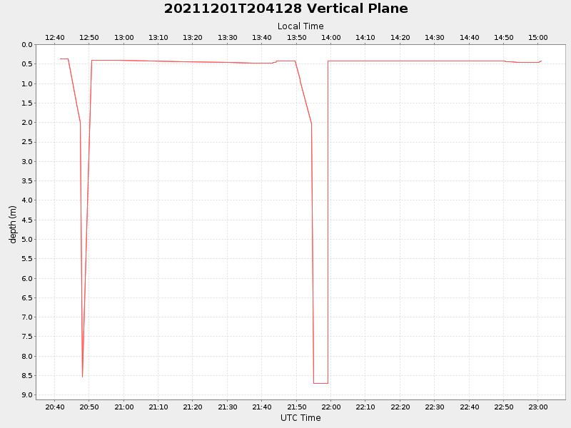
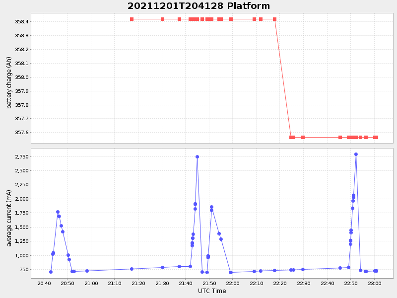
| Start time | End time | Last Latitude & Longitude |
Current (1hr avg) |
|---|---|---|---|
| 2021/12/01 20:41:41 GMT 2021/12/01 12:41:41 local |
2021/12/01 23:00:56 GMT 2021/12/01 15:00:56 local |
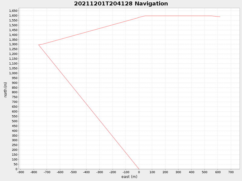
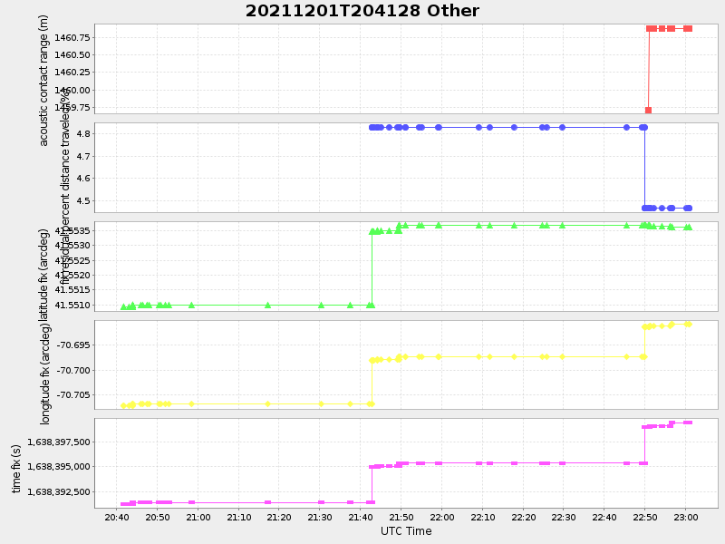
41.55358760310652 -70.69047195625834 |
0.8300547877211092 Amp |
| Downloads: | ||||
| shore.nc shore.mat |
shore.kml shore.kmz |
shore.asc shore.dir |
shore.csv shore.log |
argos_24hr.kml argos_week.kml, argos_month.kml |
| Elapsed time since start: ... | Elapsed time since last valid data: ... |