Parent Directory
Parent Directory
Parent Directory
| Start time | End time | Last Latitude & Longitude |
Current (1hr avg) |
|---|---|---|---|
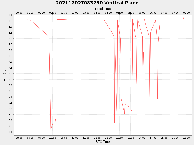
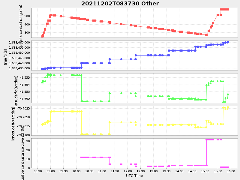
| 2021/12/02 08:37:42 GMT 2021/12/02 00:37:42 local |
2021/12/02 15:53:51 GMT 2021/12/02 07:53:51 local |
41.55263499974125 -70.70219733250158 |
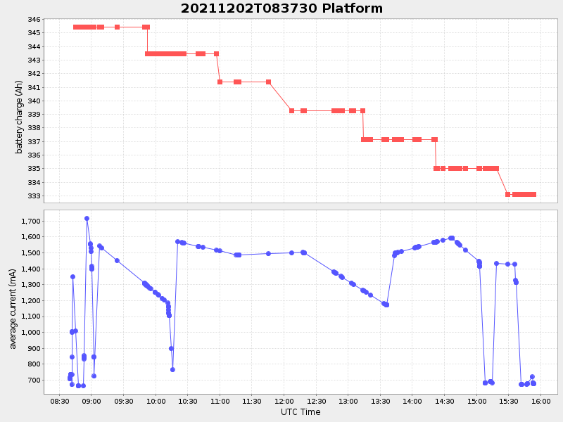
1.8324003693901818 Amp |
| Downloads: | ||||
| shore.nc shore.mat |
shore.kml shore.kmz |
shore.asc shore.dir |
shore.csv shore.log |
argos_24hr.kml argos_week.kml, argos_month.kml |
| Elapsed time since start: 31116:12 | Elapsed time since last valid data: 31108:56 |