Parent Directory
Parent Directory
Parent Directory
| Start time | End time | Last Latitude & Longitude |
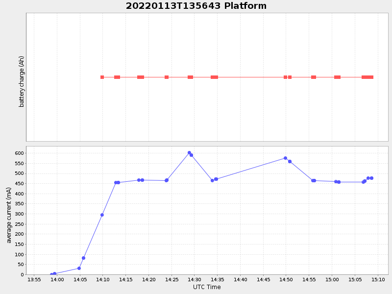
Current (1hr avg) |
|---|---|---|---|
| 2022/01/13 13:56:55 GMT 2022/01/13 05:56:55 local |
2022/01/13 15:08:39 GMT 2022/01/13 07:08:39 local |
41.52454416632959 -70.67139466594485 |
-0.0 Amp |
| Downloads: | ||||
| shore.nc shore.mat |
shore.kml shore.kmz |
shore.asc shore.dir |
shore.csv shore.log |
argos_24hr.kml argos_week.kml, argos_month.kml |
| Elapsed time since start: ... | Elapsed time since last valid data: ... |