Polaris 20220113T155226 Parent Directory

Open page with static plots
Start timeEnd timeLast Latitude
& Longitude
Current
(1hr avg)
2022/01/13 15:52:37 GMT
2022/01/13 07:52:37 local
2022/01/13 16:05:29 GMT
2022/01/13 08:05:29 local
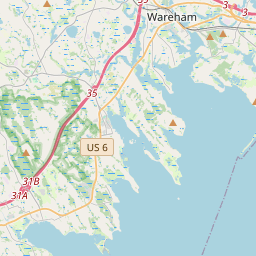
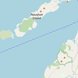
41.546716031344445
-70.70307854946773
-0.0 Amp
Downloads:
shore.nc
shore.mat
shore.kml
shore.kmz
shore.asc
shore.dir
shore.csv
shore.log
argos_24hr.kml
argos_week.kml, argos_month.kml
Elapsed time since start: 30164:52 Elapsed time since last valid data: 30164:39
MarkerMarker
Leaflet © OpenStreetMap contributors
Options for all plots below with a time axis:


Created with Highstock 6.1.3time (UTC)Depth (m)Vertical Plane15:5415:5615:5816:0016:0216:04-5-4-3-2-10123ZoomAll1h3h6h12h1d3d1wFromJan 13, 2022ToJan 13, 2022Highcharts.com
Created with Highstock 6.1.3time (UTC)time_fix (s)latitude_fix (arcdeg)longitude_fix (arcdeg)Other15:5515:5615:5715:5815:5916:0016:011 642 089 2001 642 089 4001 642 089 6001 642 089 80041.5141.5241.5341.5441.55-70.71-70.7-70.69-70.68-70.67ZoomAll1h3h6h12h1d3d1wFromJan 13, 2022ToJan 13, 2022Highcharts.com
Created with Highstock 6.1.3longitude (arcdeg)latitude (arcdeg)Navigation-70.7-70.695-70.69-70.685-70.68-70.67541.517541.5241.522541.52541.527541.5341.532541.53541.537541.5441.542541.54541.547541.5541.515Highcharts.com
Created with Highstock 6.1.3time (UTC)average_current (mA)Platform15:5515:5615:5715:5815:5916:0016:0116:0216:0316:04240260280300320340360380400ZoomAll1h3h6h12h1d3d1wFromJan 13, 2022ToJan 13, 2022Highcharts.com
Created with Highstock 6.1.3time (UTC)battery_charge (Ah)battery_charge16:00:00.524244.777771ZoomAll1h3h6h12h1d3d1wFromJan 13, 2022ToJan 13, 2022Highcharts.com