Parent Directory
Parent Directory
Parent Directory
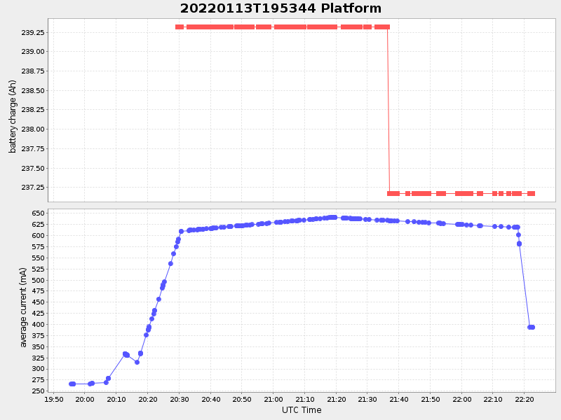
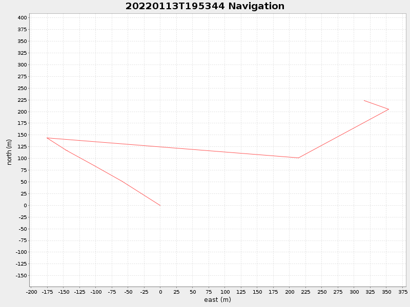
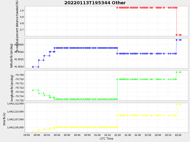
| Start time | End time | Last Latitude & Longitude |
Current (1hr avg) |
|---|---|---|---|
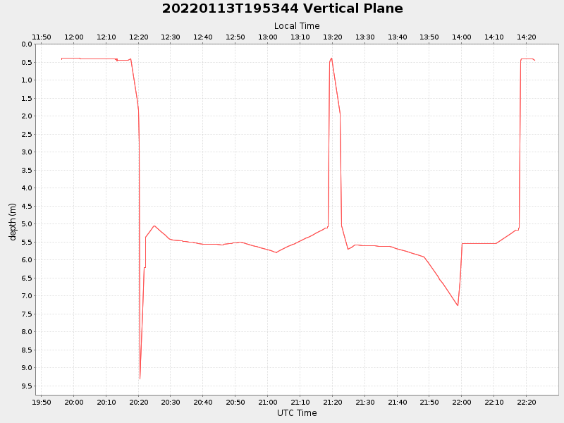
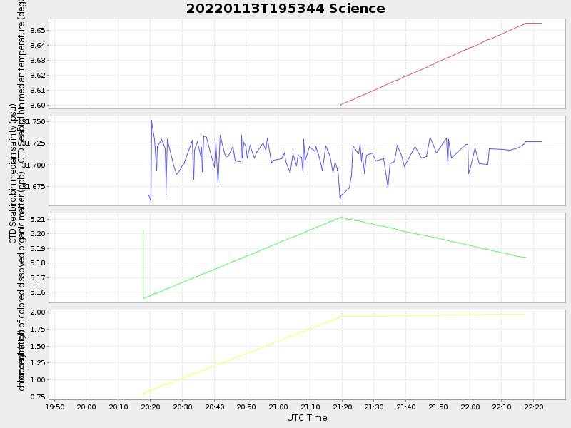
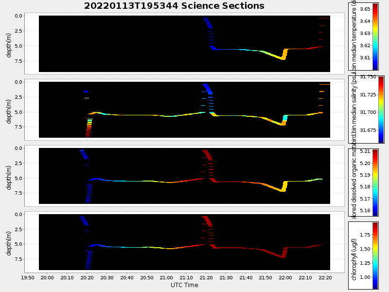
| 2022/01/13 19:55:43 GMT 2022/01/13 11:55:43 local |
2022/01/13 22:22:33 GMT 2022/01/13 14:22:33 local |
41.55299508294538 -70.70879790241774 |
2.142244516689376 Amp |
| Downloads: | ||||
| shore.nc shore.mat |
shore.kml shore.kmz |
shore.asc shore.dir |
shore.csv shore.log |
argos_24hr.kml argos_week.kml, argos_month.kml |
| Elapsed time since start: ... | Elapsed time since last valid data: ... |