Parent Directory
Parent Directory
Parent Directory
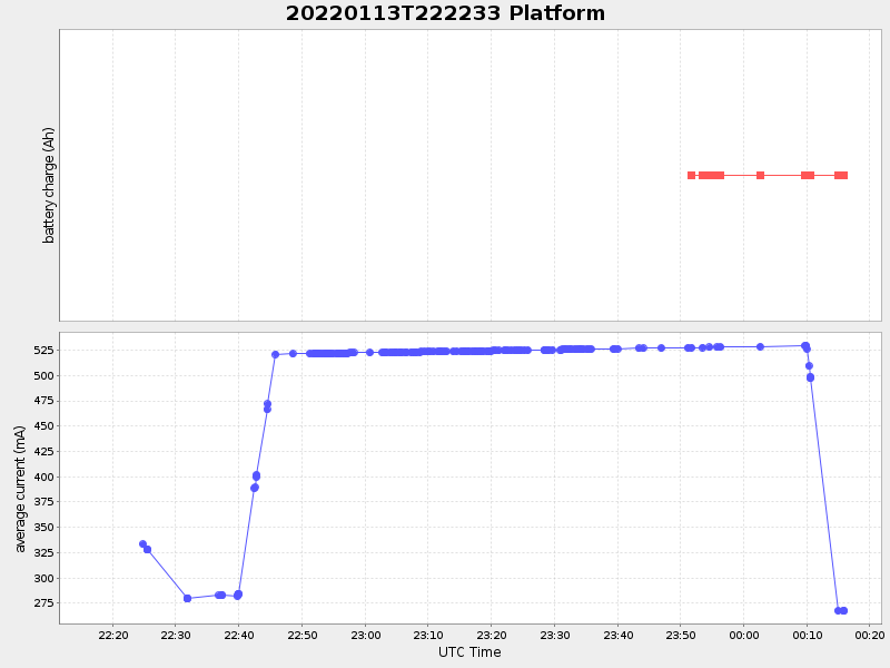
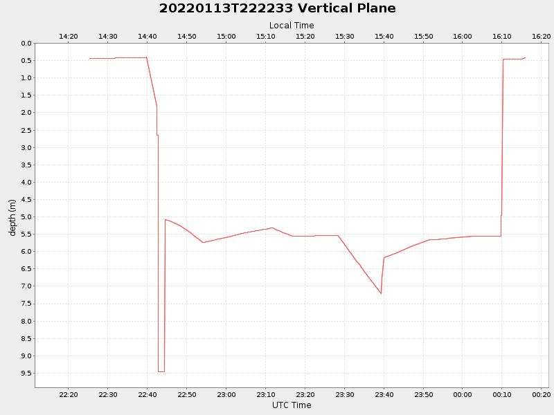
| Start time | End time | Last Latitude & Longitude |
Current (1hr avg) |
|---|---|---|---|
| 2022/01/13 22:17:35 GMT 2022/01/13 14:17:35 local |
2022/01/14 00:15:51 GMT 2022/01/13 16:15:51 local |
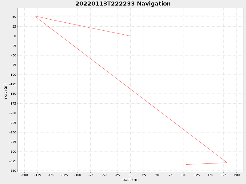
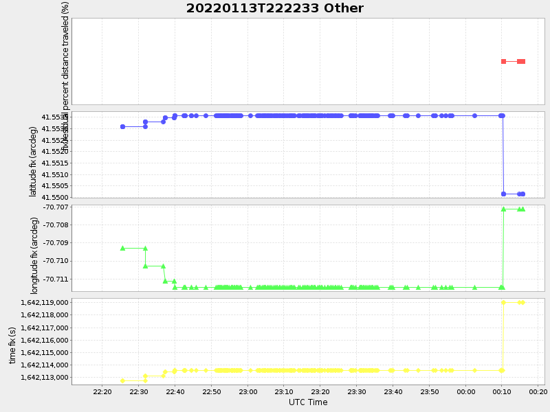
41.55009820520139 -70.70803148048768 |
-0.0 Amp |
| Downloads: | ||||
| shore.nc shore.mat |
shore.kml shore.kmz |
shore.asc shore.dir |
shore.csv shore.log |
argos_24hr.kml argos_week.kml, argos_month.kml |
| Elapsed time since start: 30123:33 | Elapsed time since last valid data: 30121:35 |