Parent Directory
Parent Directory
Parent Directory
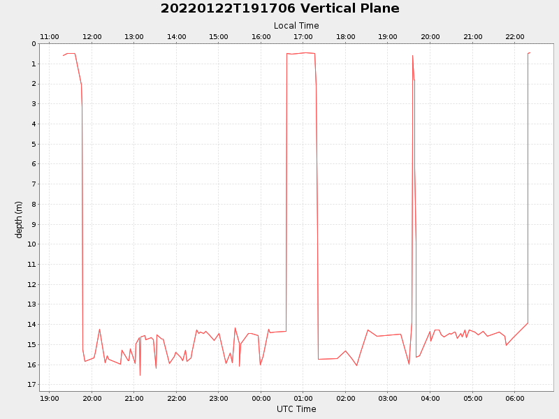
| Start time | End time | Last Latitude & Longitude |
Current (1hr avg) |
|---|---|---|---|
| 2022/01/22 19:19:25 GMT 2022/01/22 11:19:25 local |
2022/01/23 06:21:52 GMT 2022/01/22 22:21:52 local |
40.43437699963997 -70.2559148331959 |
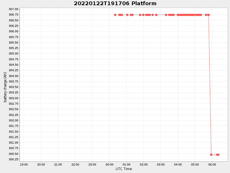
6.182175986550173 Amp |
| Downloads: | ||||
| shore.nc shore.mat |
shore.kml shore.kmz |
shore.asc shore.dir |
shore.csv shore.log |
argos_24hr.kml argos_week.kml, argos_month.kml |
| Elapsed time since start: ... | Elapsed time since last valid data: ... |