Parent Directory
Parent Directory
Parent Directory
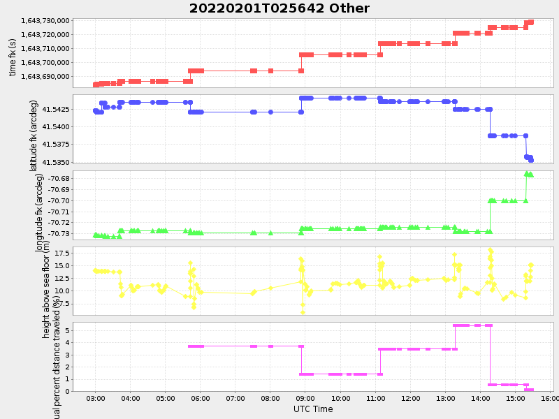
| Start time | End time | Last Latitude & Longitude |
Current (1hr avg) |
|---|---|---|---|
| 2022/02/01 02:59:12 GMT 2022/01/31 18:59:12 local |
2022/02/01 15:28:22 GMT 2022/02/01 07:28:22 local |
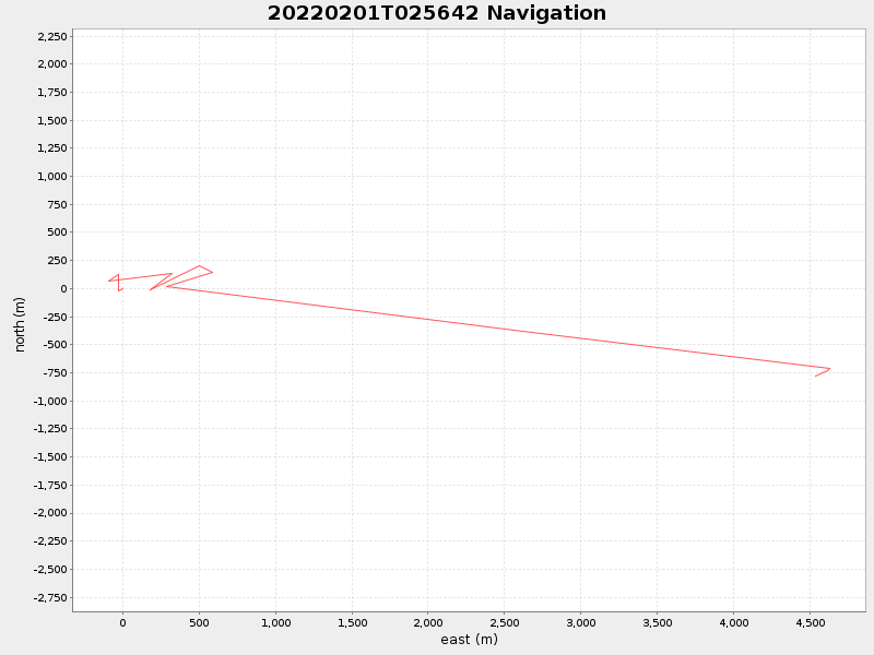
41.535242666319824 -70.67679199948788 |
0.8935261746383655 Amp |
| Downloads: | ||||
| shore.nc shore.mat |
shore.kml shore.kmz |
shore.asc shore.dir |
shore.csv shore.log |
argos_24hr.kml argos_week.kml, argos_month.kml |
| Elapsed time since start: ... | Elapsed time since last valid data: ... |