Parent Directory
Parent Directory
Parent Directory
| Start time | End time | Last Latitude & Longitude |
Current (1hr avg) |
|---|---|---|---|
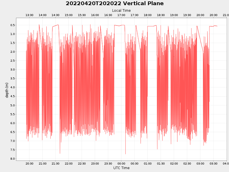
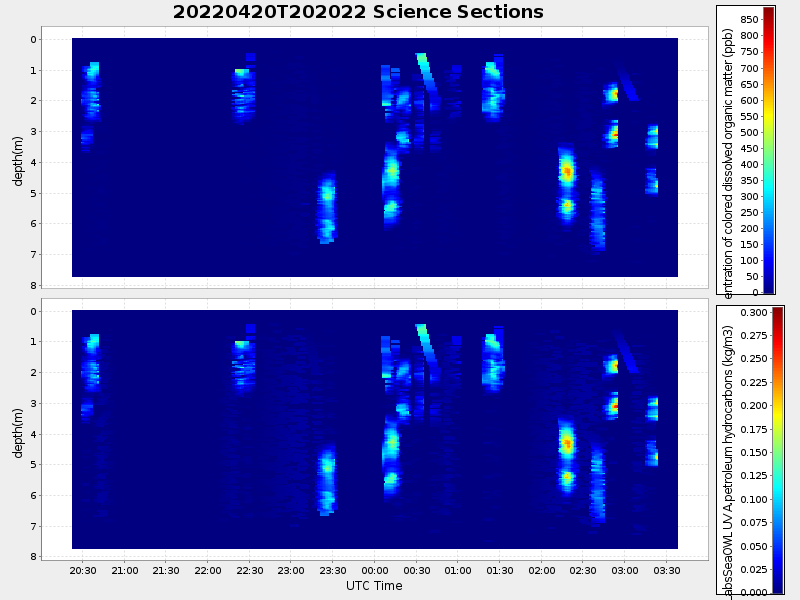
| 2022/04/20 20:22:21 GMT 2022/04/20 13:22:21 local |
2022/04/21 03:38:43 GMT 2022/04/20 20:38:43 local |
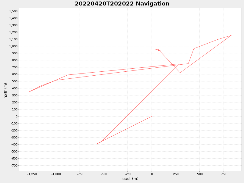
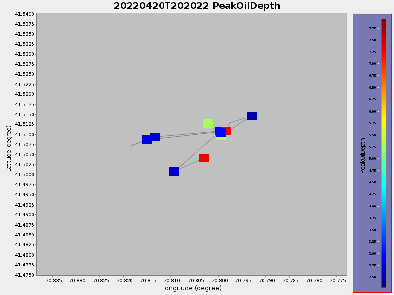
41.51246430768735 -70.8018211302102 |
1.3599344632300219 Amp |
| Downloads: | ||||
| shore.nc shore.mat |
shore.kml shore.kmz |
shore.asc shore.dir |
shore.csv shore.log |
argos_24hr.kml argos_week.kml, argos_month.kml |
| Elapsed time since start: ... | Elapsed time since last valid data: ... |