Parent Directory
Parent Directory
Parent Directory
| Start time | End time | Last Latitude & Longitude |
Current (1hr avg) |
|---|---|---|---|
| 2022/04/21 03:40:10 GMT 2022/04/20 20:40:10 local |
2022/04/21 12:52:22 GMT 2022/04/21 05:52:22 local |
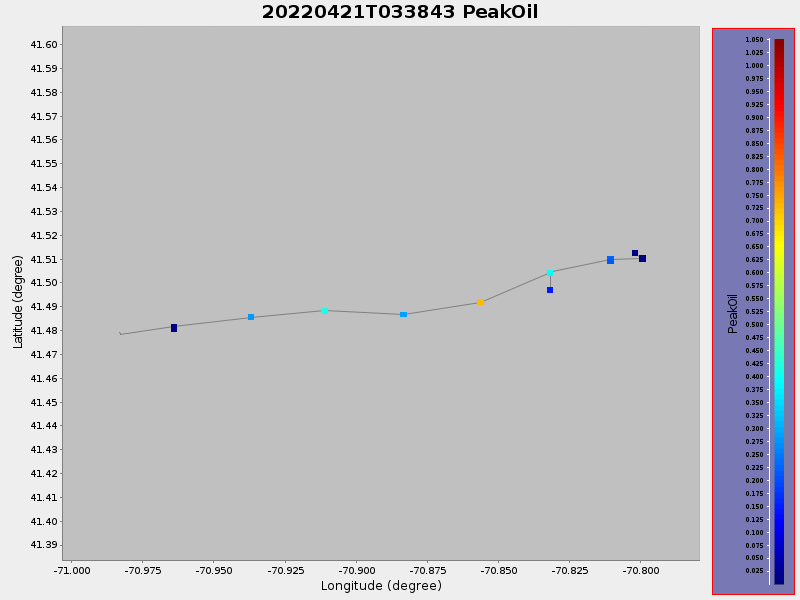
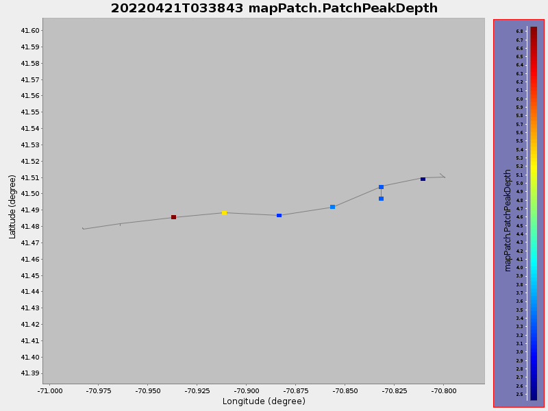
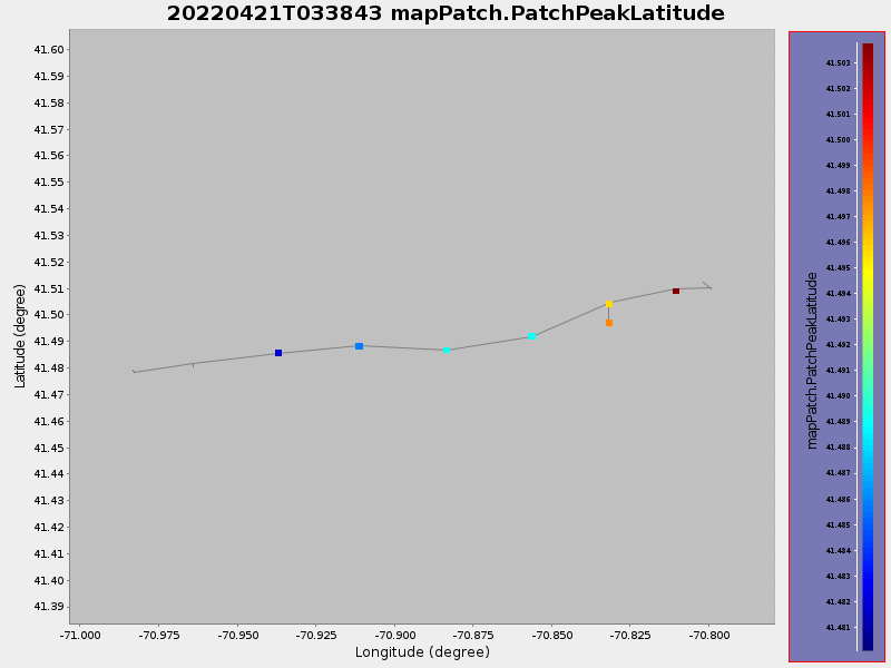
41.47931120186559 -70.98314367538697 |
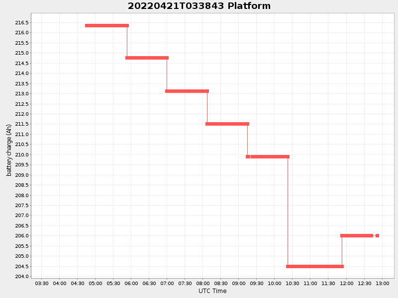
-1.5051808331449934 Amp |
| Downloads: | ||||
| shore.nc shore.mat |
shore.kml shore.kmz |
shore.asc shore.dir |
shore.csv shore.log |
argos_24hr.kml argos_week.kml, argos_month.kml |
| Elapsed time since start: ... | Elapsed time since last valid data: ... |