Parent Directory
Parent Directory
Parent Directory
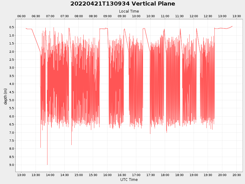
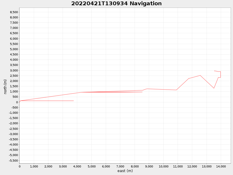
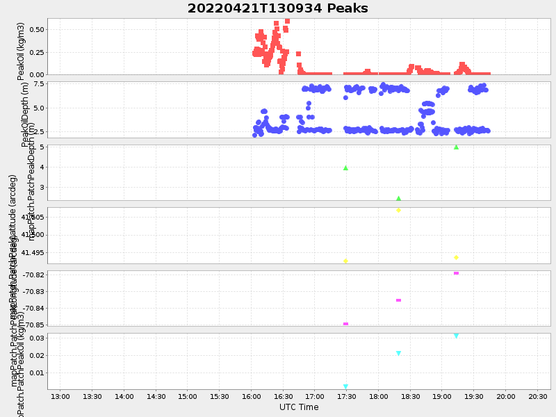
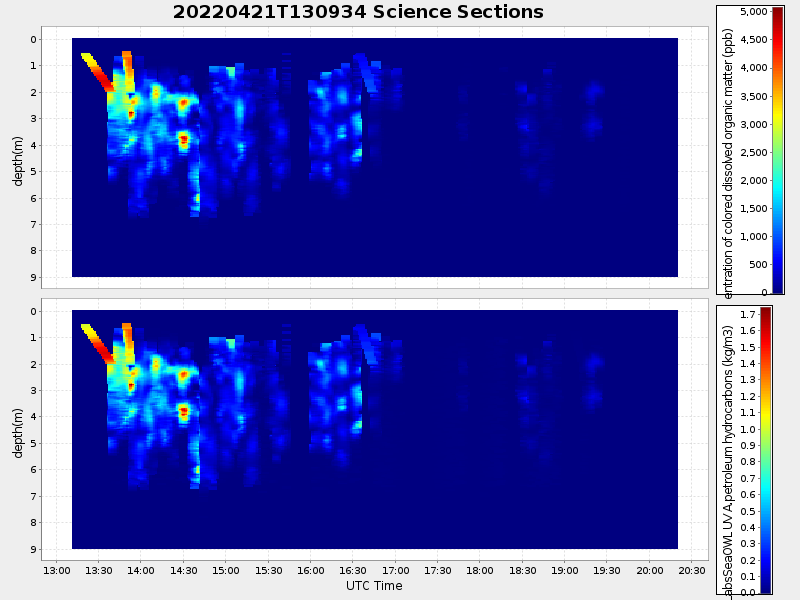
| Start time | End time | Last Latitude & Longitude |
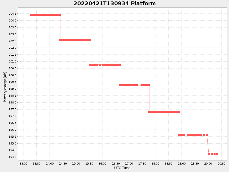
Current (1hr avg) |
|---|---|---|---|
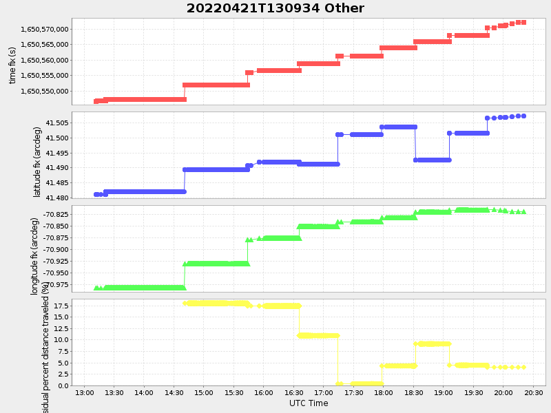
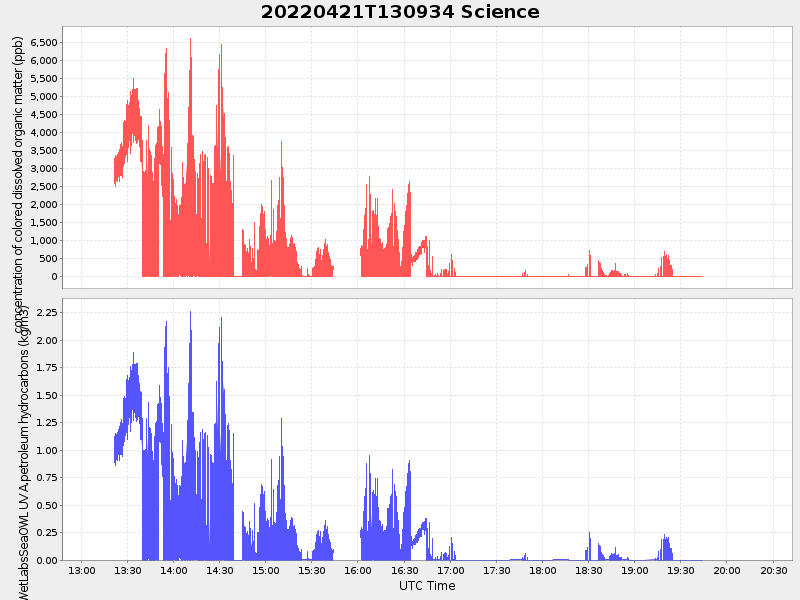
| 2022/04/21 13:09:45 GMT 2022/04/21 06:09:45 local |
2022/04/21 20:20:45 GMT 2022/04/21 13:20:45 local |
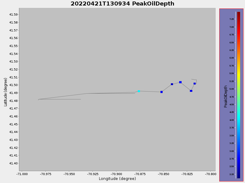
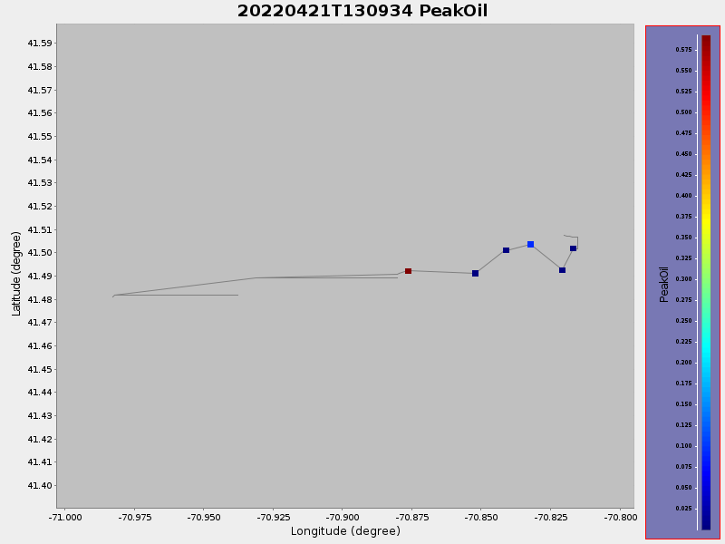
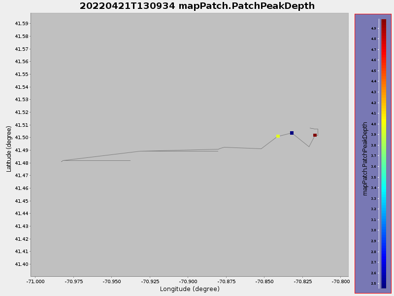
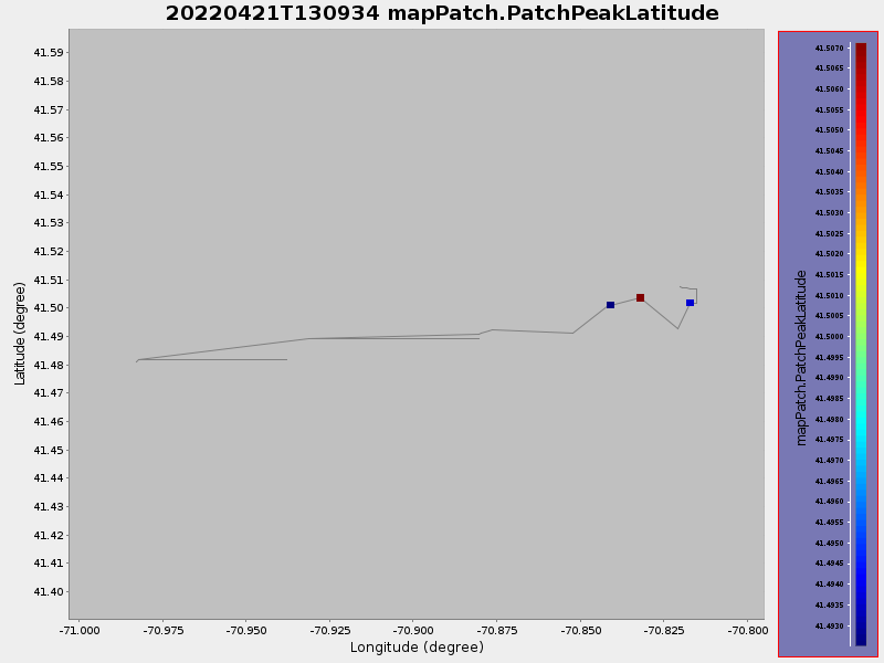
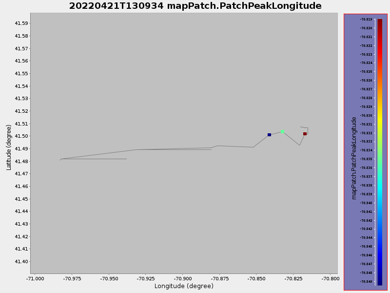
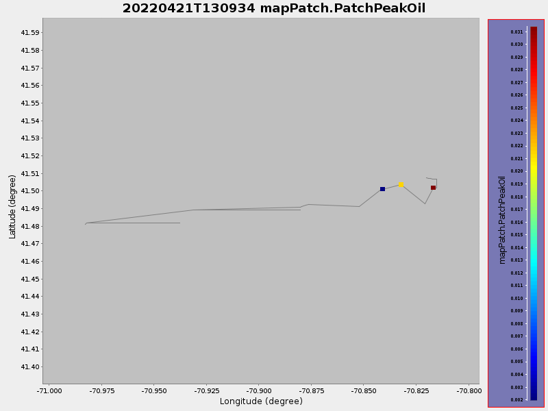
41.50747010538275 -70.82013165841818 |
1.3671414681604315 Amp |
| Downloads: | ||||
| shore.nc shore.mat |
shore.kml shore.kmz |
shore.asc shore.dir |
shore.csv shore.log |
argos_24hr.kml argos_week.kml, argos_month.kml |
| Elapsed time since start: ... | Elapsed time since last valid data: ... |