Parent Directory
Parent Directory
Parent Directory
| Start time | End time | Last Latitude & Longitude |
Current (1hr avg) |
|---|---|---|---|
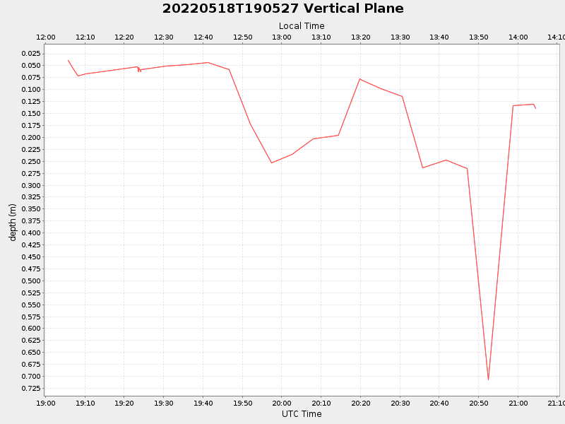
| 2022/05/18 19:05:40 GMT 2022/05/18 12:05:40 local |
2022/05/18 21:04:35 GMT 2022/05/18 14:04:35 local |
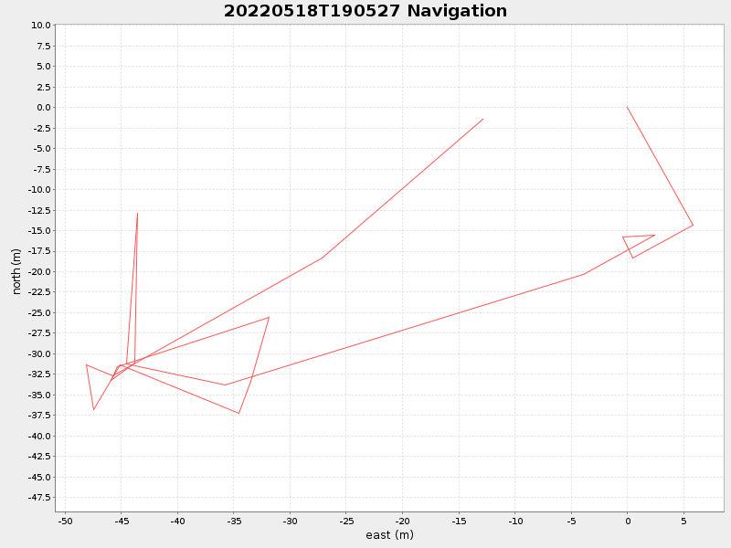
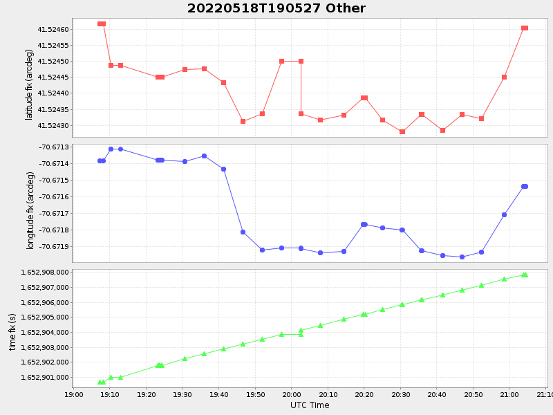
41.52460349984607 -70.6715403327356 |
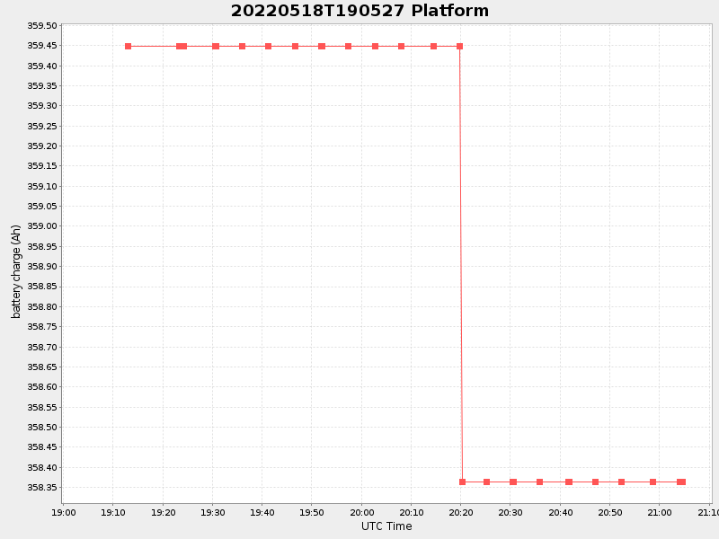
1.0513478938589509 Amp |
| Downloads: | ||||
| shore.nc shore.mat |
shore.kml shore.kmz |
shore.asc shore.dir |
shore.csv shore.log |
argos_24hr.kml argos_week.kml, argos_month.kml |
| Elapsed time since start: ... | Elapsed time since last valid data: ... |