Parent Directory
Parent Directory
Parent Directory
| Start time | End time | Last Latitude & Longitude |
Current (1hr avg) |
|---|---|---|---|
| 2022/06/10 14:31:19 GMT 2022/06/10 07:31:19 local |
2022/06/10 16:10:48 GMT 2022/06/10 09:10:48 local |
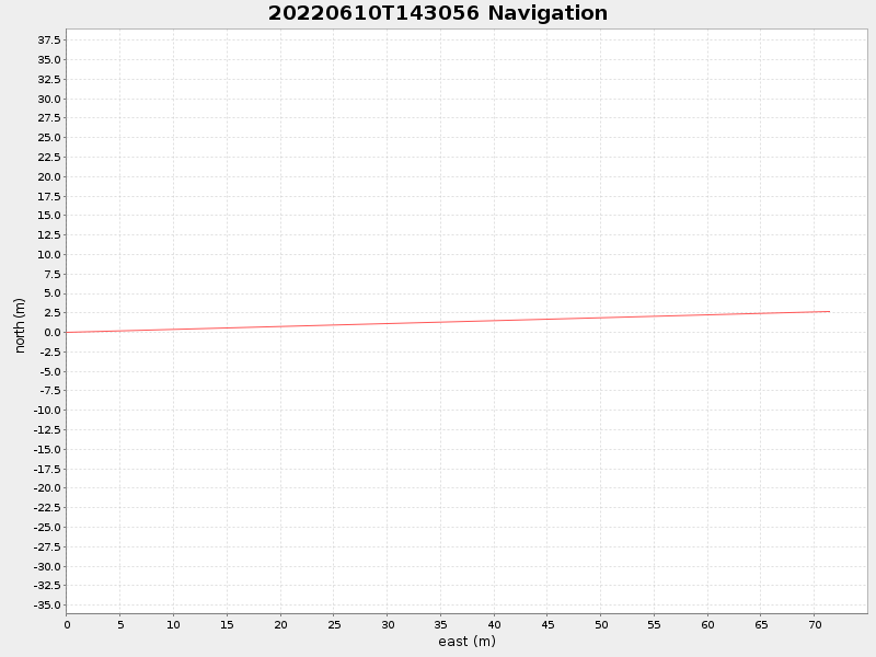
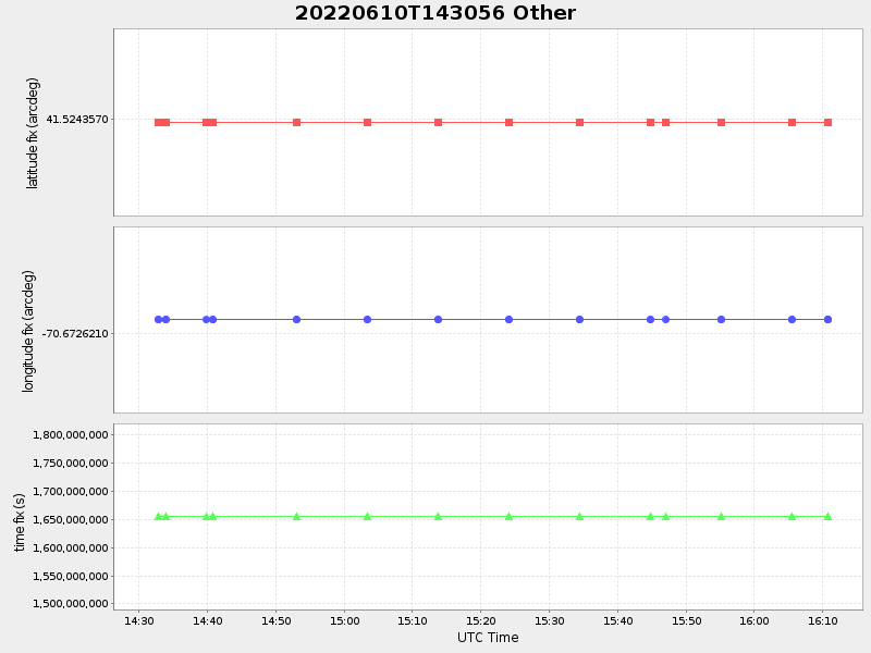
41.5243808604419 -70.67176347448218 |
-0.07121313098681357 Amp |
| Downloads: | ||||
| shore.nc shore.mat |
shore.kml shore.kmz |
shore.asc shore.dir |
shore.csv shore.log |
argos_24hr.kml argos_week.kml, argos_month.kml |
| Elapsed time since start: ... | Elapsed time since last valid data: ... |