Parent Directory
Parent Directory
Parent Directory
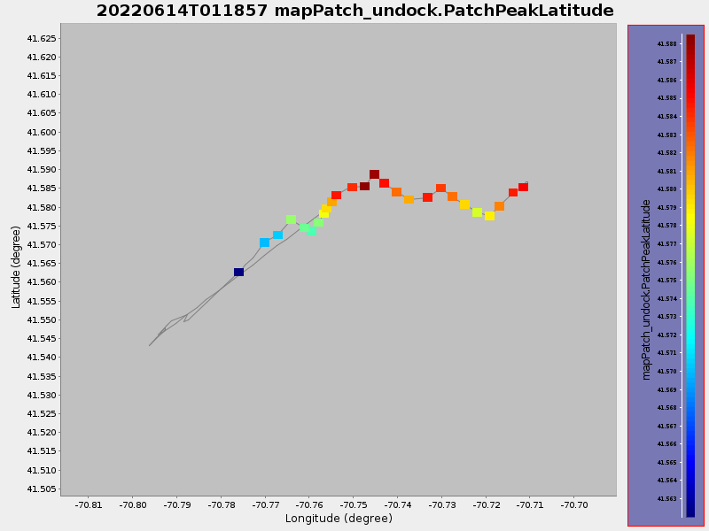
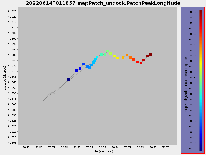
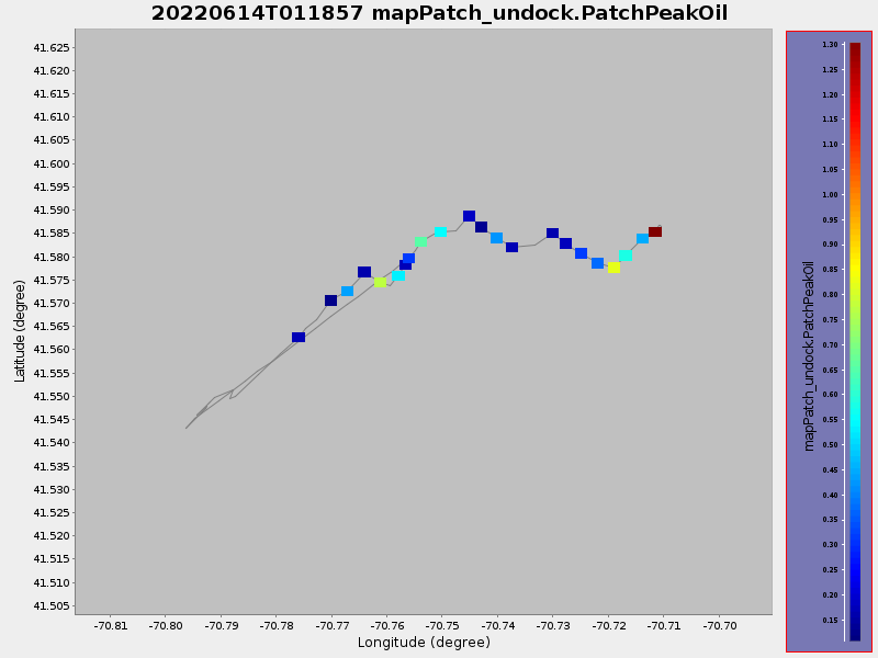
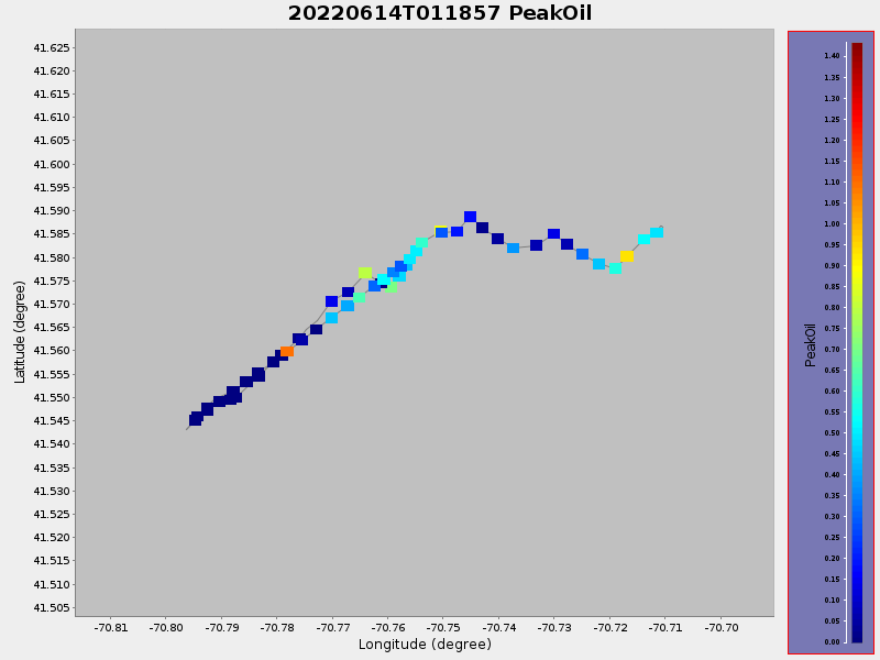
| Start time | End time | Last Latitude & Longitude |
Current (1hr avg) |
|---|---|---|---|
| 2022/06/14 01:04:34 GMT 2022/06/13 18:04:34 local |
2022/06/14 11:45:22 GMT 2022/06/14 04:45:22 local |
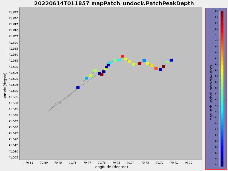
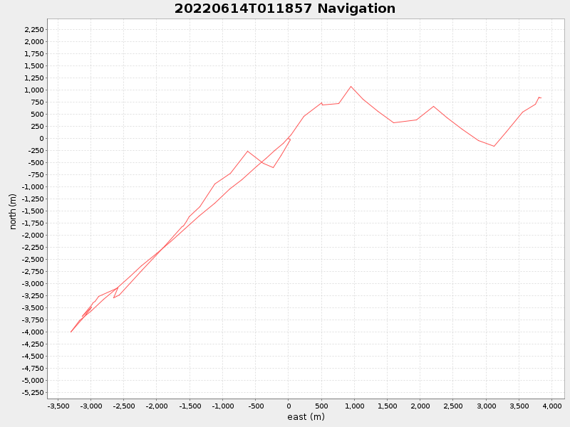
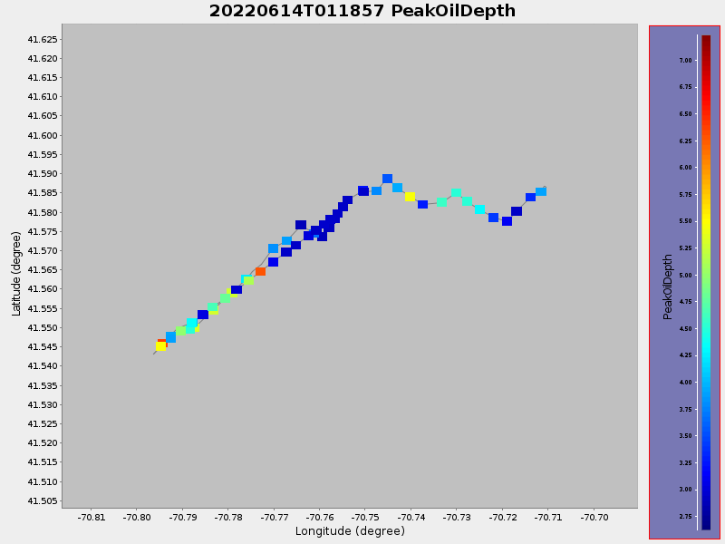
41.586568786096606 -70.71053783808043 |
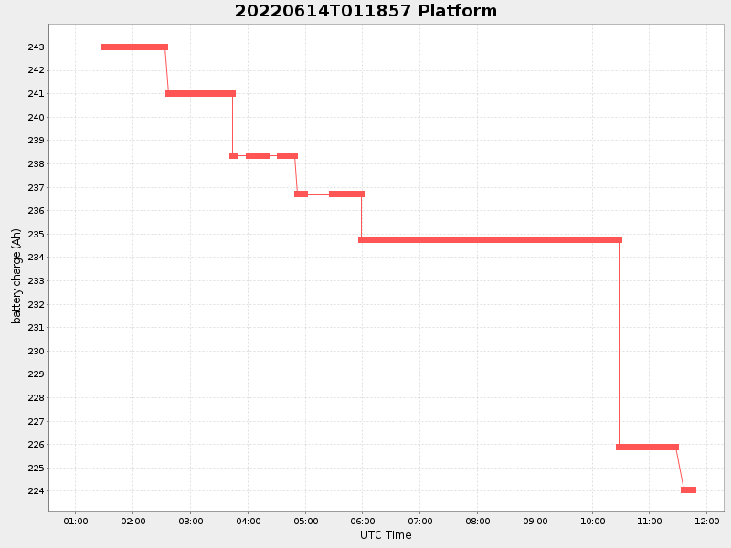
1.8359093429376272 Amp |
| Downloads: | ||||
| shore.nc shore.mat |
shore.kml shore.kmz |
shore.asc shore.dir |
shore.csv shore.log |
argos_24hr.kml argos_week.kml, argos_month.kml |
| Elapsed time since start: ... | Elapsed time since last valid data: ... |