Parent Directory
Parent Directory
Parent Directory
| Start time | End time | Last Latitude & Longitude |
Current (1hr avg) |
|---|---|---|---|
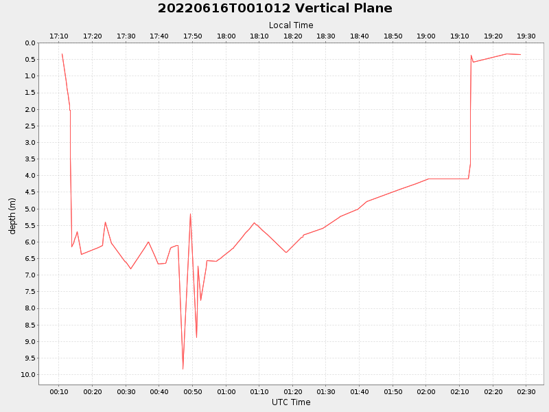
| 2022/06/16 00:10:56 GMT 2022/06/15 17:10:56 local |
2022/06/16 02:28:19 GMT 2022/06/15 19:28:19 local |
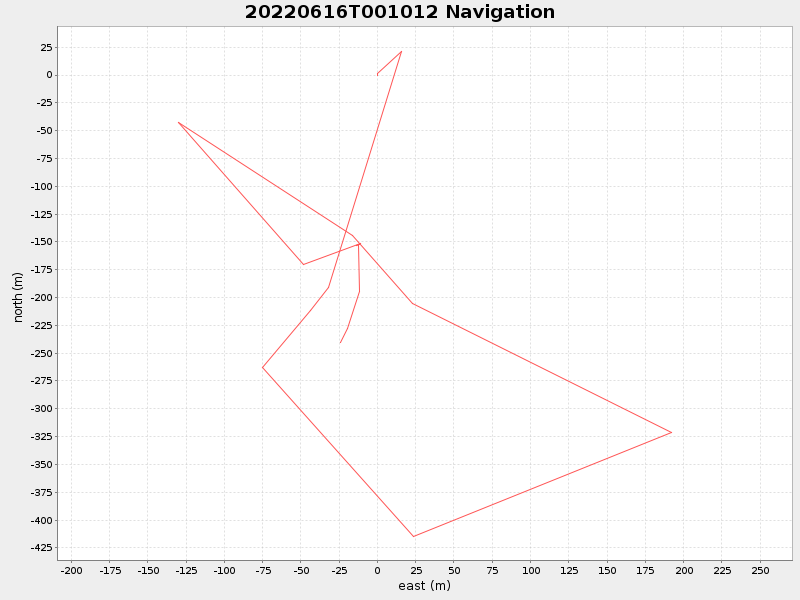
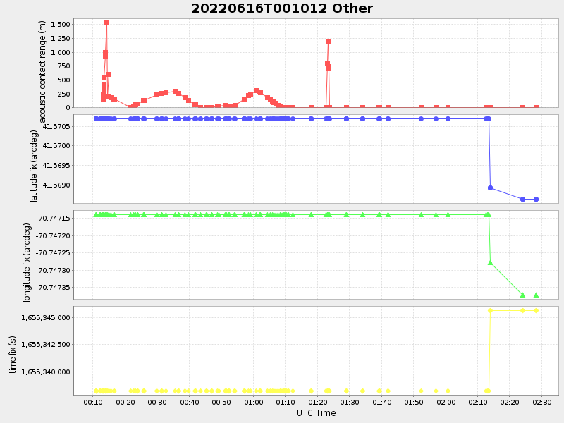
41.56852674135242 -70.74743241722572 |
NaN Amp |
| Downloads: | ||||
| shore.nc shore.mat |
shore.kml shore.kmz |
shore.asc shore.dir |
shore.csv shore.log |
argos_24hr.kml argos_week.kml, argos_month.kml |
| Elapsed time since start: ... | Elapsed time since last valid data: ... |