Parent Directory
Parent Directory
Parent Directory
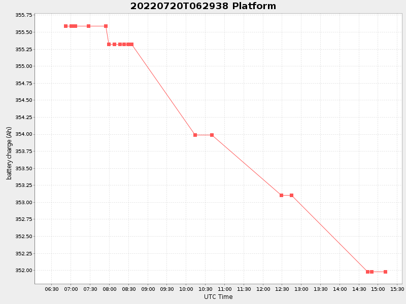
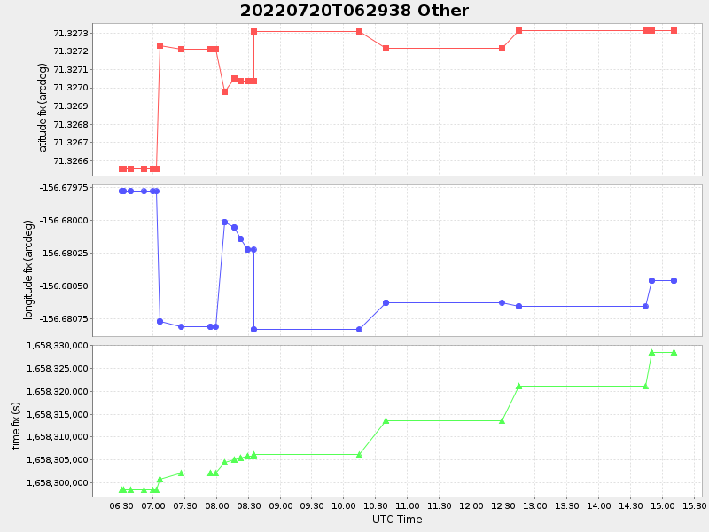
| Start time | End time | Last Latitude & Longitude |
Current (1hr avg) |
|---|---|---|---|
| 2022/07/20 06:29:52 GMT 2022/07/19 23:29:52 local |
2022/07/20 15:11:14 GMT 2022/07/20 08:11:14 local |
71.32731099961698 -156.6804588322234 |
0.4600331705267982 Amp |
| Downloads: | ||||
| shore.nc shore.mat |
shore.kml shore.kmz |
shore.asc shore.dir |
shore.csv shore.log |
argos_24hr.kml argos_week.kml, argos_month.kml |
| Elapsed time since start: ... | Elapsed time since last valid data: ... |