Parent Directory
Parent Directory
Parent Directory
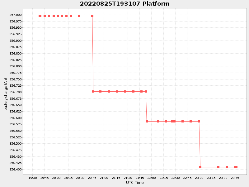
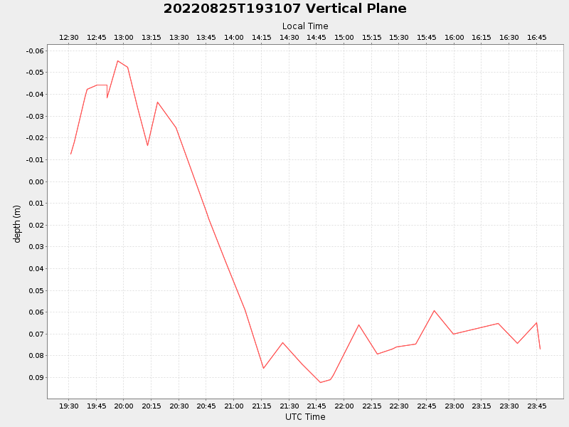
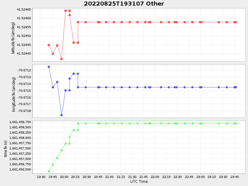
| Start time | End time | Last Latitude & Longitude |
Current (1hr avg) |
|---|---|---|---|
| 2022/08/25 19:31:18 GMT 2022/08/25 12:31:18 local |
2022/08/25 23:46:51 GMT 2022/08/25 16:46:51 local |
41.52457716626517 -70.67145016623442 |
0.15738475115833603 Amp |
| Downloads: | ||||
| shore.nc shore.mat |
shore.kml shore.kmz |
shore.asc shore.dir |
shore.csv shore.log |
argos_24hr.kml argos_week.kml, argos_month.kml |
| Elapsed time since start: ... | Elapsed time since last valid data: ... |