Polaris 20220825T234653 Parent Directory

Open page with static plots
Start timeEnd timeLast Latitude
& Longitude
Current
(1hr avg)
2022/08/25 23:47:05 GMT
2022/08/25 16:47:05 local
2022/08/26 00:37:23 GMT
2022/08/25 17:37:23 local
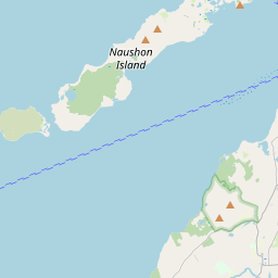
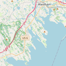
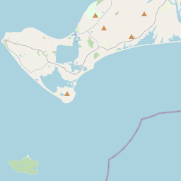
41.524603139660314
-70.67148085872999
-0.0 Amp
Downloads:
shore.nc
shore.mat
shore.kml
shore.kmz
shore.asc
shore.dir
shore.csv
shore.log
argos_24hr.kml
argos_week.kml, argos_month.kml
Elapsed time since start: 24750:09 Elapsed time since last valid data: 24749:19
MarkerMarkerMarkerMarkerMarker
Leaflet © OpenStreetMap contributors
Options for all plots below with a time axis:


Created with Highstock 6.1.3time (UTC)Depth (m)Vertical Plane23:5023:5526. Aug00:0500:1000:1500:2000:2500:3000:35-250255075100125150ZoomAll1h3h6h12h1d3d1wFromAug 25, 2022ToAug 26, 2022Highcharts.com
Created with Highstock 6.1.3longitude (arcdeg)latitude (arcdeg)Navigation-70.67148-70.671475-70.67147-70.671465-70.67146-70.671455-70.6714541.52457541.524577541.5245841.524582541.52458541.524587541.5245941.524592541.52459541.524597541.524641.524602541.52460541.52457Highcharts.com
Created with Highstock 6.1.3time (UTC)time_fix (s)latitude_fix (arcdeg)longitude_fix (arcdeg)Other23:48:41.8861 661 471 163.87660141.524577-70.67145ZoomAll1h3h6h12h1d3d1wFromAug 25, 2022ToAug 25, 2022Highcharts.com
Created with Highstock 6.1.3time (UTC)battery_charge (Ah)battery_charge23:54:28.082356.008881ZoomAll1h3h6h12h1d3d1wFromAug 25, 2022ToAug 25, 2022Highcharts.com