Parent Directory
Parent Directory
Parent Directory
| Start time | End time | Last Latitude & Longitude |
Current (1hr avg) |
|---|---|---|---|
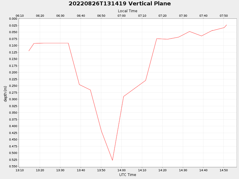
| 2022/08/26 13:14:32 GMT 2022/08/26 06:14:32 local |
2022/08/26 14:51:27 GMT 2022/08/26 07:51:27 local |
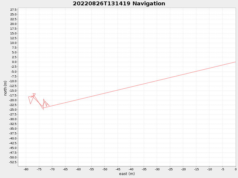
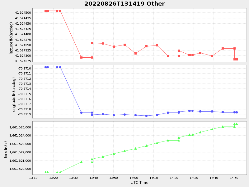
41.524283166308535 -70.6718603327678 |
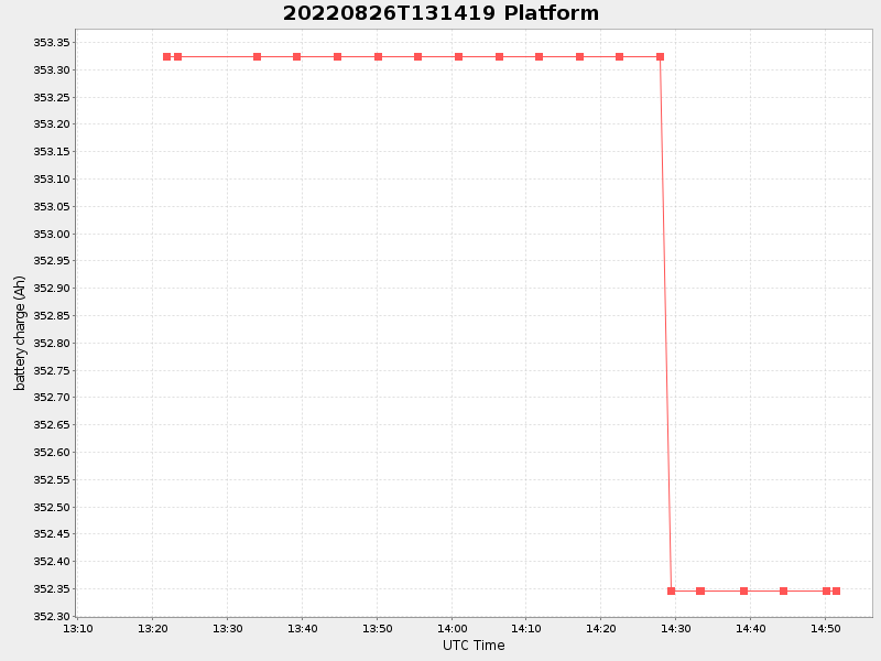
0.9565624050180325 Amp |
| Downloads: | ||||
| shore.nc shore.mat |
shore.kml shore.kmz |
shore.asc shore.dir |
shore.csv shore.log |
argos_24hr.kml argos_week.kml, argos_month.kml |
| Elapsed time since start: ... | Elapsed time since last valid data: ... |