Parent Directory
Parent Directory
Parent Directory
| Start time | End time | Last Latitude & Longitude |
Current (1hr avg) |
|---|---|---|---|
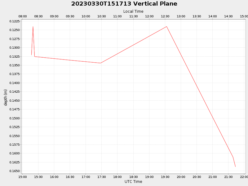
| 2023/03/30 15:17:24 GMT 2023/03/30 08:17:24 local |
2023/03/30 21:43:04 GMT 2023/03/30 14:43:04 local |
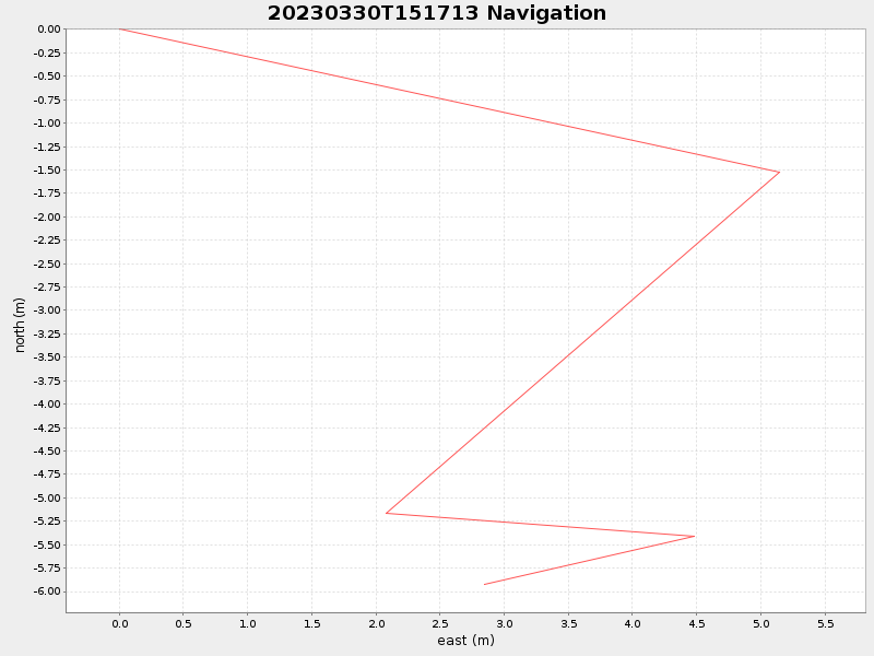
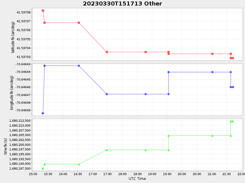
41.537028666572525 -70.64645983308009 |
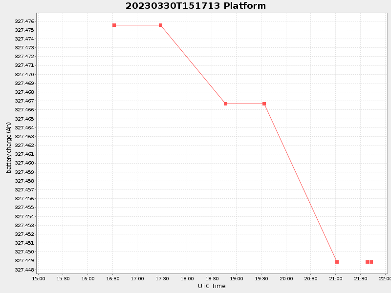
0.008227646852189767 Amp |
| Downloads: | ||||
| shore.nc shore.mat |
shore.kml shore.kmz |
shore.asc shore.dir |
shore.csv shore.log |
argos_24hr.kml argos_week.kml, argos_month.kml |
| Elapsed time since start: ... | Elapsed time since last valid data: ... |