Parent Directory
Parent Directory
Parent Directory
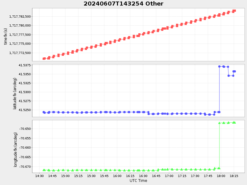
| Start time | End time | Last Latitude & Longitude |
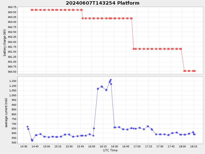
Current (1hr avg) |
|---|---|---|---|
| 2024/06/07 14:33:08 GMT 2024/06/07 07:33:08 local |
2024/06/07 18:16:03 GMT 2024/06/07 11:16:03 local |
41.535800832930626 -70.64679283315009 |
1.0850518459488196 Amp |
| Downloads: | ||||
| shore.nc shore.mat |
shore.kml shore.kmz |
shore.asc shore.dir |
shore.csv shore.log |
argos_24hr.kml argos_week.kml, argos_month.kml |
| Elapsed time since start: 9112:40 | Elapsed time since last valid data: 9108:57 |