Parent Directory
Parent Directory
Parent Directory
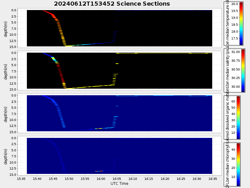
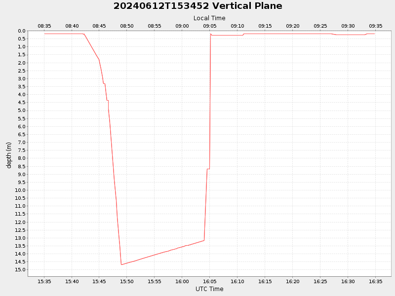
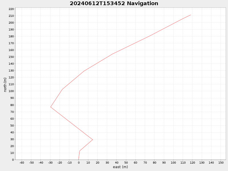
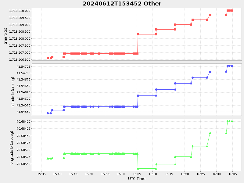
| Start time | End time | Last Latitude & Longitude |
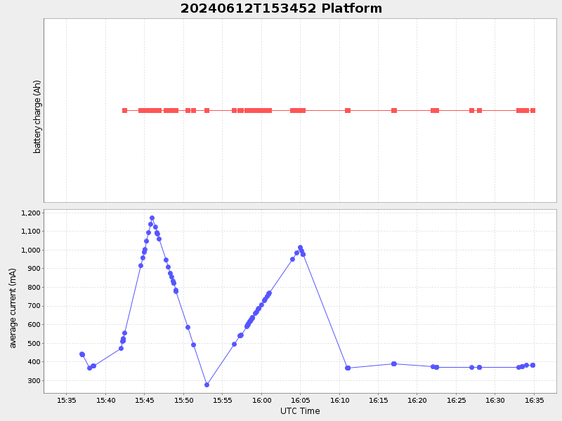
Current (1hr avg) |
|---|---|---|---|
| 2024/06/12 15:35:06 GMT 2024/06/12 08:35:06 local |
2024/06/12 16:34:52 GMT 2024/06/12 09:34:52 local |
41.54733609404332 -70.6838821618994 |
-0.0 Amp |
| Downloads: | ||||
| shore.nc shore.mat |
shore.kml shore.kmz |
shore.asc shore.dir |
shore.csv shore.log |
argos_24hr.kml argos_week.kml, argos_month.kml |
| Elapsed time since start: 8968:59 | Elapsed time since last valid data: 8967:60 |