Parent Directory
Parent Directory
Parent Directory
| Start time | End time | Last Latitude & Longitude |
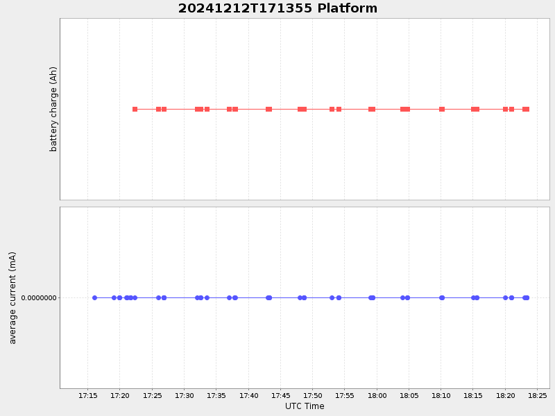
Current (1hr avg) |
|---|---|---|---|
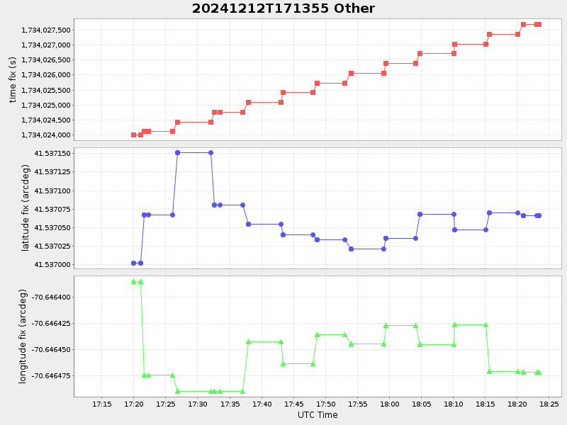
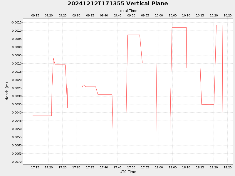
| 2024/12/12 17:14:10 GMT 2024/12/12 09:14:10 local |
2024/12/12 18:23:26 GMT 2024/12/12 10:23:26 local |
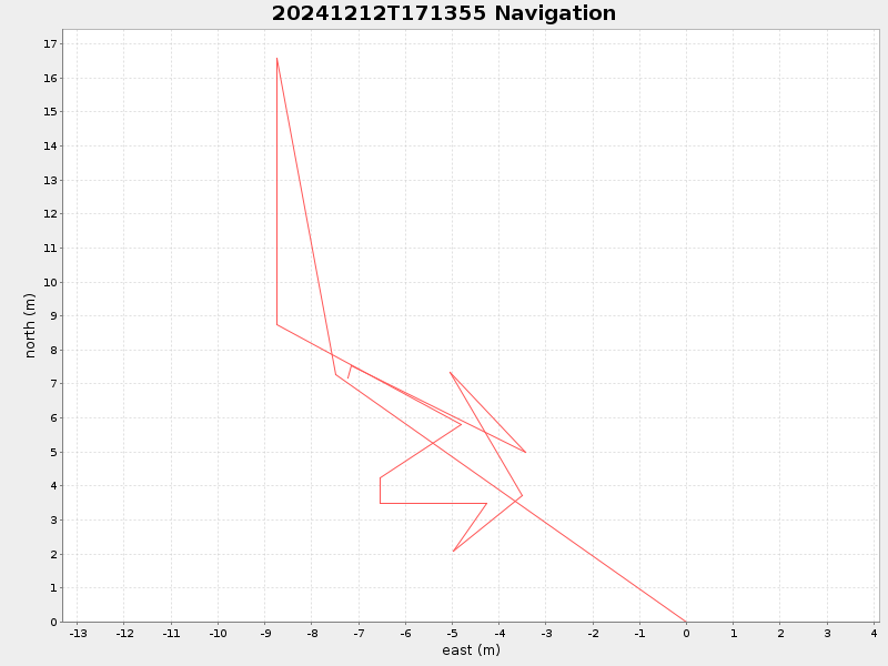
41.537066499834104 -70.64647133317766 |
-0.0 Amp |
| Downloads: | ||||
| shore.nc shore.mat |
shore.kml shore.kmz |
shore.asc shore.dir |
shore.csv shore.log |
argos_24hr.kml argos_week.kml, argos_month.kml |
| Elapsed time since start: 4867:38 | Elapsed time since last valid data: 4866:29 |