Parent Directory
Parent Directory
Parent Directory
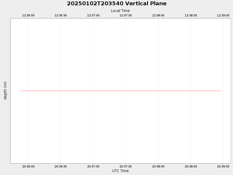
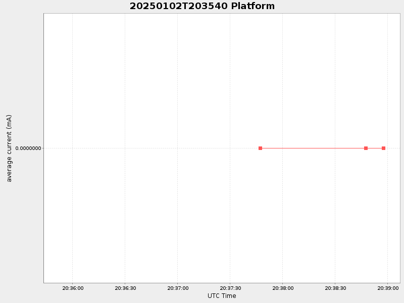
| Start time | End time | Last Latitude & Longitude |
Current (1hr avg) |
|---|---|---|---|
| 2025/01/02 20:35:52 GMT 2025/01/02 12:35:52 local |
2025/01/02 20:38:57 GMT 2025/01/02 12:38:57 local |
NaN NaN |
NaN Amp |
| Downloads: | ||||
| shore.nc shore.mat |
shore.kml shore.kmz |
shore.asc shore.dir |
shore.csv shore.log |
argos_24hr.kml argos_week.kml, argos_month.kml |
| Elapsed time since start: 4397:08 | Elapsed time since last valid data: 4397:05 |