Parent Directory
Parent Directory
Parent Directory
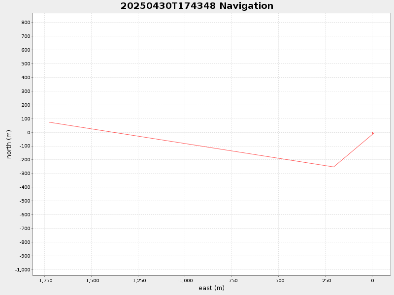
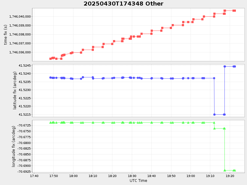
| Start time | End time | Last Latitude & Longitude |
Current (1hr avg) |
|---|---|---|---|
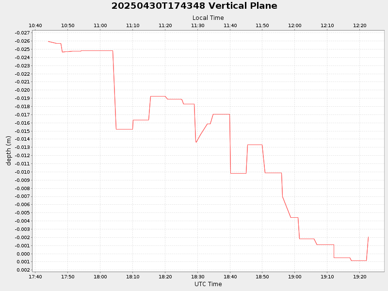
| 2025/04/30 17:44:03 GMT 2025/04/30 10:44:03 local |
2025/04/30 19:22:37 GMT 2025/04/30 12:22:37 local |
41.52443033303952 -70.6919881665401 |
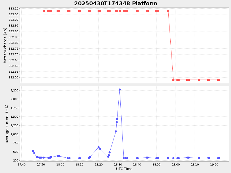
0.5784751138306522 Amp |
| Downloads: | ||||
| shore.nc shore.mat |
shore.kml shore.kmz |
shore.asc shore.dir |
shore.csv shore.log |
argos_24hr.kml argos_week.kml, argos_month.kml |
| Elapsed time since start: ... | Elapsed time since last valid data: ... |